Interlaken Park, Seattle
Map
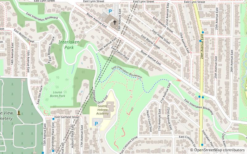
Map

Facts and practical information
Interlaken Park is a 51.7 acres park in Seattle, Washington. A heavily wooded hillside and ravine, it forms the division between Capitol Hill to the south and Montlake to the north. Interlaken Drive E. runs through the park north to south, and E. Interlaken Boulevard, part of which is now closed to traffic, does so northwest to southeast. Louisa Boren Park, once part of Interlaken Park, lies directly south. ()
Elevation: 167 ft a.s.l.Coordinates: 47°38'10"N, 122°18'25"W
Day trips
Interlaken Park – popular in the area (distance from the attraction)
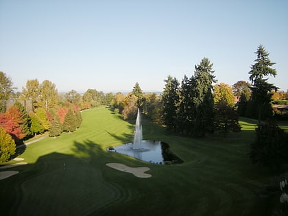
Nearby attractions include: Broadmoor Golf Club, Seattle Japanese Garden, Seattle Asian Art Museum, Washington Park Arboretum.
Frequently Asked Questions (FAQ)
When is Interlaken Park open?
Interlaken Park is open:
- Monday 4 am - 11:30 pm
- Tuesday 4 am - 11:30 pm
- Wednesday 4 am - 11:30 pm
- Thursday 4 am - 11:30 pm
- Friday 4 am - 11:30 pm
- Saturday 4 am - 11:30 pm
- Sunday 4 am - 11:30 pm
Which popular attractions are close to Interlaken Park?
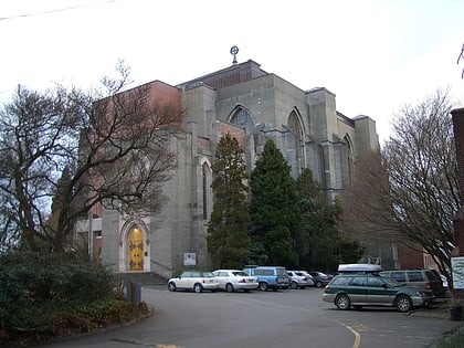
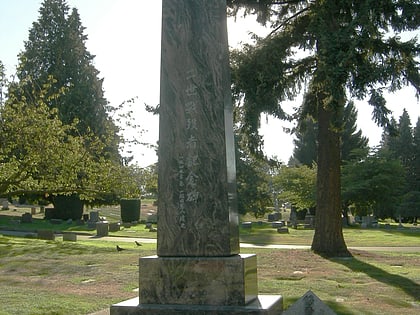
Nearby attractions include St. Demetrios Greek Orthodox Church, Seattle (5 min walk), Louisa Boren Park, Seattle (7 min walk), Montlake Historic District, Seattle (10 min walk), Lake View Cemetery, Seattle (11 min walk).
How to get to Interlaken Park by public transport?
The nearest stations to Interlaken Park:
Bus
Light rail
Tram
Bus
- 24th Ave E & Boyer Ave E • Lines: 48 (7 min walk)
Light rail
- University of Washington • Lines: 1 (25 min walk)
- Capitol Hill • Lines: 1 (34 min walk)
Tram
- Fairview & Campus Drive • Lines: South Lake Union Streetcar (34 min walk)

