Stuyvesant Square, New York City
Map
Gallery

Facts and practical information
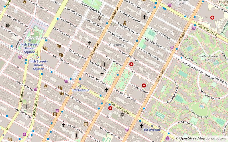
Stuyvesant Square is the name of both a park and its surrounding neighborhood in the New York City borough of Manhattan. The park is located between 15th Street, 17th Street, Rutherford Place, and Nathan D. Perlman Place. Second Avenue divides the park into two halves, east and west, and each half is surrounded by the original cast-iron fence. ()
Day trips
Stuyvesant Square – popular in the area (distance from the attraction)
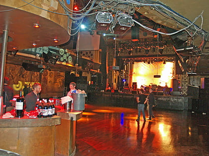
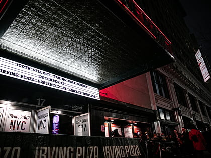
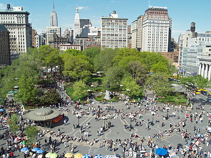
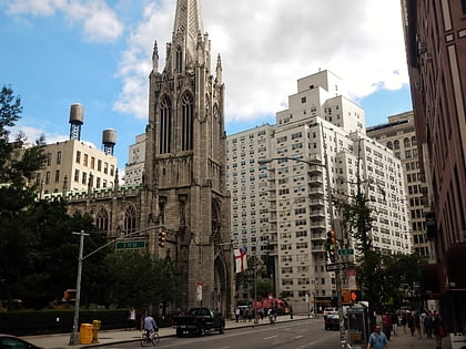
Nearby attractions include: Webster Hall, Irving Plaza, Union Square, Grace Church.
Frequently Asked Questions (FAQ)
Which popular attractions are close to Stuyvesant Square?
Nearby attractions include Stuyvesant Apartments, New York City (1 min walk), St. George's Episcopal Church, New York City (2 min walk), City Congregation for Humanistic Judaism, New York City (4 min walk), Consolidated Edison Building, New York City (6 min walk).
How to get to Stuyvesant Square by public transport?
The nearest stations to Stuyvesant Square:
Bus
Metro
Train
Bus
- 2 Av & E 14 St • Lines: M15 (4 min walk)
- 2 Av & E 13 St • Lines: M15-Sbs (4 min walk)
Metro
- 3rd Avenue • Lines: L (4 min walk)
- 1st Avenue • Lines: L (6 min walk)
Train
- New York Penn Station (32 min walk)


 Subway
 Manhattan Buses