Open Road Park, New York City
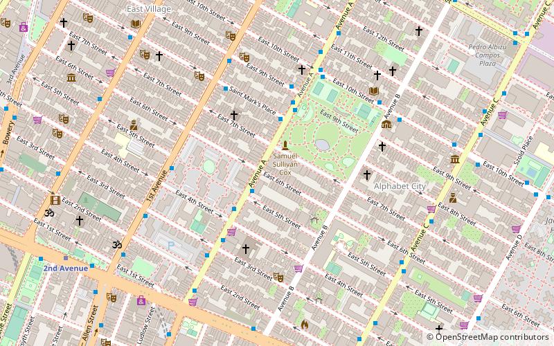
Map
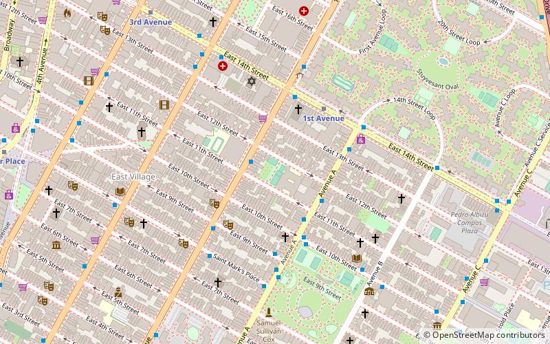
Map

Facts and practical information
Open Road Park is a small park in East Village, Manhattan, New York City, located east of First Avenue between 11th and 12th Streets. It is among the larger green spaces created in the East Village as a result of community organizing. The site of this park was taken over in 1993 by Open Road, a neighborhood nonprofit that developed the lot into a community garden and playground. Prior to its use as a park, the site was used for many purposes that reflect on the history of the surrounding neighborhood. ()
Elevation: 16 ft a.s.l.Coordinates: 40°43'46"N, 73°58'59"W
Day trips
Open Road Park – popular in the area (distance from the attraction)
Nearby attractions include: Club Cumming, SideWalk Cafe, Tompkins Square Park, Death & Co..
Frequently Asked Questions (FAQ)
Which popular attractions are close to Open Road Park?
Nearby attractions include Immaculate Conception Church, New York City (3 min walk), Church of the Immaculate Conception and Clergy Houses, New York City (3 min walk), St. Nicholas of Myra Church, New York City (3 min walk), Theater for the New City, New York City (3 min walk).
How to get to Open Road Park by public transport?
The nearest stations to Open Road Park:
Metro
Bus
Metro
- 1st Avenue • Lines: L (4 min walk)
- 3rd Avenue • Lines: L (8 min walk)
Bus
- 1st Avenue & East 9th Street • Lines: M15 (4 min walk)
- Saint Marks Place & 1st Avenue • Lines: M8 (5 min walk)

 Subway
 Manhattan Buses