Mayo Clinic Square, Minneapolis

Facts and practical information
Mayo Clinic Square, a bustling shopping center located in the heart of Minneapolis, has become a vibrant hub for both locals and visitors. This modern commercial complex is not just a destination for retail therapy; it offers a unique blend of shopping, dining, and entertainment experiences in the city's dynamic downtown area.
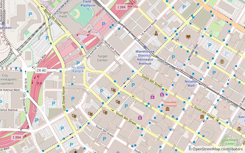
Strategically positioned at the intersection of Hennepin Avenue and Seventh Street, Mayo Clinic Square seamlessly integrates with the urban fabric, inviting pedestrians to explore its diverse array of shops and eateries. The center provides a convenient and upscale shopping environment with a mix of well-known brands and local boutiques, catering to a wide range of tastes and preferences.
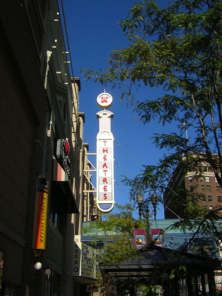
Beyond retail, Mayo Clinic Square is a place where the community can gather. It houses several restaurants and cafes that serve up everything from quick bites to gourmet meals, making it an ideal spot for a lunch break or a meet-up with friends. The center also features entertainment venues, adding to the allure for those seeking a lively nightlife scene.
The architecture of Mayo Clinic Square reflects the contemporary vibe of Minneapolis, with its sleek lines and glass facades offering a visual connection to the city streets. Inside, the ambiance is designed to be welcoming and comfortable, ensuring a pleasant visit for shoppers and diners alike.
- Bus
- Light rail
- Train
 Bus
Bus
- Calculate route6 St / 7 St S 1 min walk
- Calculate route7th Street & Hennepin Avenue 1 min walk
- Calculate route6th Street & Hennepin Avenue 2 min walk
- Calculate route8 St S 3 min walk
- Calculate routeWarehouse District/Hennepin Avenue 4 min walk
- Calculate routeNicollet Mall 6 min walk
- Calculate routeTarget Field 9 min walk
- Calculate routeGovernment Plaza 12 min walk
- Calculate routeTarget Field 9 min walk
Mayo Clinic Square – popular in the area (distance from the attraction)
Nearby attractions include: Nicollet Mall, First Avenue, Target Field, Target Center.


Frequently Asked Questions (FAQ)
Which popular attractions are close to Mayo Clinic Square?
How to get to Mayo Clinic Square by public transport?
Bus
- 6 St / 7 St S • Lines: 4, 4A, 4L, 4P (1 min walk)
- 7th Street & Hennepin Avenue • Lines: 353, 355, 363, 94D, 94F (1 min walk)
Light rail
- Warehouse District/Hennepin Avenue • Lines: 901, 902 (4 min walk)
- Nicollet Mall • Lines: 901, 902 (6 min walk)
Train
- Target Field (9 min walk)