Block E, Minneapolis

Map
Facts and practical information
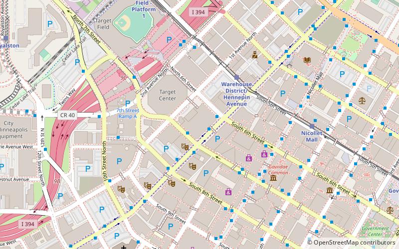
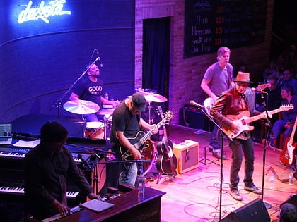
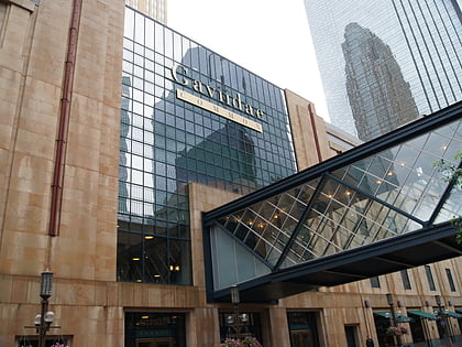
Mayo Clinic Square on Block E in downtown Minneapolis, is a building bounded by Hennepin Avenue, North 6th Street, North 7th Street, and 1st Avenue North. It is part of the Downtown West neighborhood in Minneapolis, historically known as the Warehouse District. It is one block south of the Warehouse District/Hennepin Avenue light rail station on the METRO Blue and Green lines. "Block E" is a City planning department designation of the block; other blocks have similar designations ()
Coordinates: 44°58'43"N, 93°16'29"W
Address
Central Minneapolis (Warehouse District)Minneapolis
ContactAdd
Social media
Add
Day trips
Block E – popular in the area (distance from the attraction)
Nearby attractions include: Nicollet Mall, First Avenue, Target Field, Target Center.
Frequently Asked Questions (FAQ)
Which popular attractions are close to Block E?
Nearby attractions include Pantages Theatre, Minneapolis (2 min walk), Hennepin Center for the Arts, Minneapolis (3 min walk), 33 South Sixth, Minneapolis (3 min walk), Forum Cafeteria, Minneapolis (3 min walk).
How to get to Block E by public transport?
The nearest stations to Block E:
Bus
Light rail
Train
Bus
- 6 St / 7 St S • Lines: 4, 4A, 4L, 4P (1 min walk)
- 7th Street & Hennepin Avenue • Lines: 353, 355, 363, 94D, 94F (1 min walk)
Light rail
- Warehouse District/Hennepin Avenue • Lines: 901, 902 (4 min walk)
- Nicollet Mall • Lines: 901, 902 (6 min walk)
Train
- Target Field (9 min walk)


