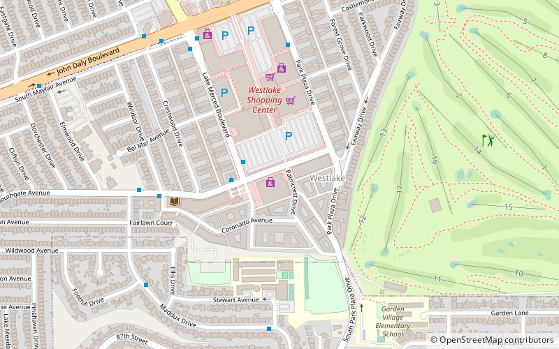
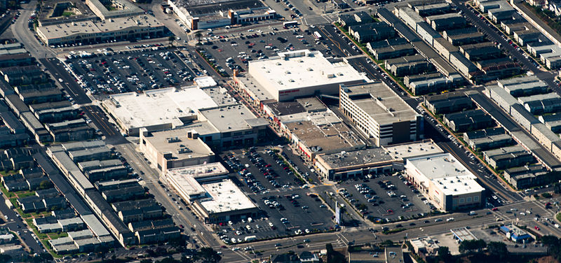
Westlake Shopping Center, Daly City

Gallery (2)
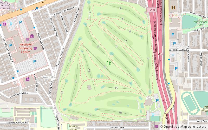
Map
Map
Gallery
Facts and practical information
Westlake Shopping Center is one of the first shopping malls built in America; ground was broken in 1948 for the mall in Daly City, California, United States. It is anchored by Burlington Coat Factory, Home Depot, Ross, Safeway, Target, and Walgreens. ()
Stores: 98Coordinates: 37°41'52"N, 122°28'55"W
Getting there by public transportation
Public transportation stops near this location
- Metro
- Bus
- Light rail
- Train
 Metro
Metro
- Calculate routeLake Merced Boulevard & Southgate Avenue 2 min walk
- Calculate routeSouthgate Avenue & Windsor Drive 6 min walk
- Calculate routePark Plaza Drive & John Daly Boulevard 6 min walk
- Calculate routeDaly City 24 min walk
- Calculate routeColma 32 min walk
- Calculate route19th Avenue & Randolph Street 34 min walk
- Calculate routeRandolph Street & Arch Street 36 min walk
- Calculate routeOrizaba Avenue & Broad Street 39 min walk
- Calculate routeBroad Street & Orizaba Avenue 39 min walk
- Calculate routeRandolph Street & Arch Street 36 min walk
Day trips


Frequently Asked Questions (FAQ)
How to get to Westlake Shopping Center by public transport?
The nearest stations to Westlake Shopping Center:
Bus
Metro
Light rail
Train
Bus
- Lake Merced Boulevard & Southgate Avenue • Lines: 120, 122 (2 min walk)
- Southgate Avenue & Windsor Drive • Lines: 120, 122 (6 min walk)
Metro
- Daly City • Lines: Blue, Green, Red, Yellow (24 min walk)
- Colma • Lines: Red, Yellow (32 min walk)
Light rail
- 19th Avenue & Randolph Street (34 min walk)
- Randolph Street & Arch Street (36 min walk)
Train
- Randolph Street & Arch Street (36 min walk)