Thornton State Beach, Daly City
Map
Map

Facts and practical information
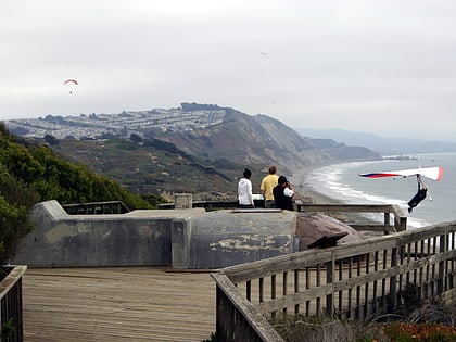
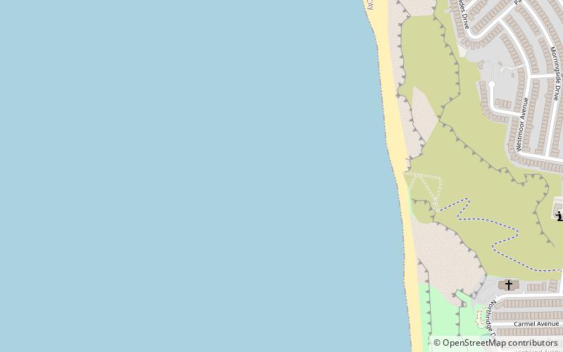
Thornton State Beach is a protected beach in the state park system of California, United States. It is located on the Pacific coast of Daly City in the San Francisco Bay Area. The 58-acre park was established in 1955. ()
Established: 1955 (71 years ago)Coordinates: 37°40'60"N, 122°30'0"W
Address
Daly City
ContactAdd
Social media
Add
Day trips
Thornton State Beach – popular in the area (distance from the attraction)
Nearby attractions include: Stonestown Galleria, TPC Harding Park, Serramonte Center, Westlake Shopping Center.
Frequently Asked Questions (FAQ)
How to get to Thornton State Beach by public transport?
The nearest stations to Thornton State Beach:
Bus
Bus
- Skyline Drive & Westmoor Avenue • Lines: 110 (14 min walk)

