Arborway, Boston
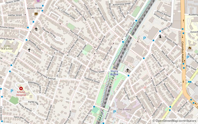
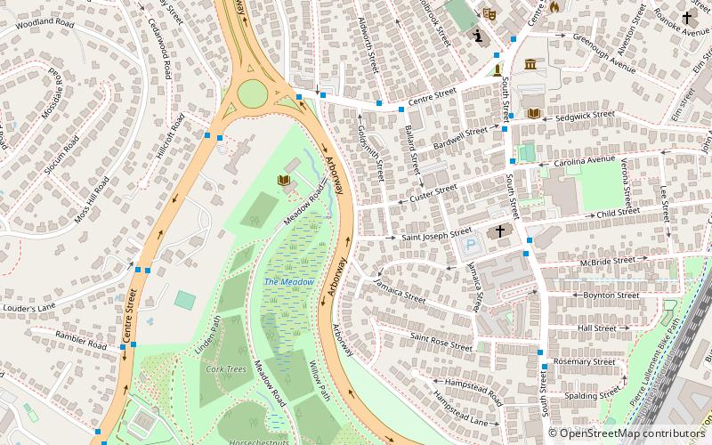
Map
Map

Facts and practical information
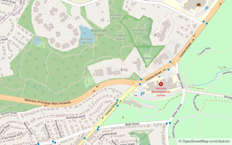
Arborway consists of a four-lane, divided parkway and a two lane residential street in the Jamaica Plain neighborhood of Boston, Massachusetts. It was designed by Frederick Law Olmsted in the 1890s as the south most carriage road in a series of parkways connecting parks from Boston Common in downtown Boston to Franklin Park in Roxbury. This park system has since become known as the Emerald Necklace of Boston. ()
Length: 8448 ftCoordinates: 42°18'24"N, 71°7'9"W
Day trips
Arborway – popular in the area (distance from the attraction)
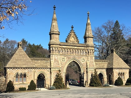
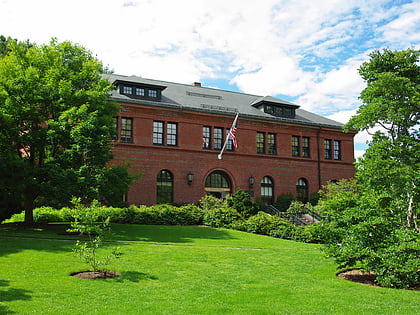
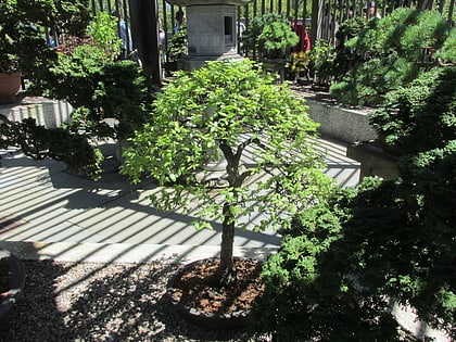
Nearby attractions include: Forest Hills Cemetery, Arnold Arboretum, Loring-Greenough House, Jamaica Pond.
Frequently Asked Questions (FAQ)
Which popular attractions are close to Arborway?
Nearby attractions include First Church of Jamaica Plain, Boston (8 min walk), Loring-Greenough House, Boston (8 min walk), The Footlight Club, Boston (8 min walk), Jamaica Plain, Boston (9 min walk).
How to get to Arborway by public transport?
The nearest stations to Arborway:
Train
Metro
Train
- Forest Hills (13 min walk)
Metro
- Forest Hills • Lines: Orange (13 min walk)
- Green Street • Lines: Orange (17 min walk)

 MBTA Subway