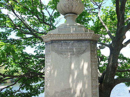
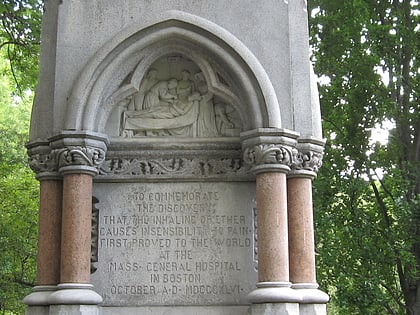
Hatch Memorial Shell, Boston
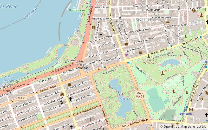
Map
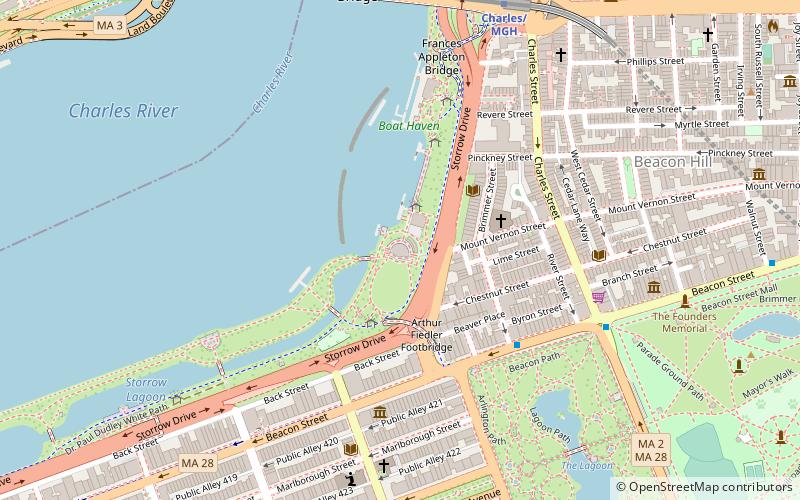
Map

Facts and practical information
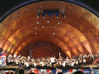
The Edward A. Hatch Memorial Shell is an outdoor concert venue on the Charles River Esplanade in the Back Bay section of Boston, Massachusetts. Built in 1939–1940, it is one of the city's prominent examples of Art Deco architecture. ()
Opened: 1928 (98 years ago)Capacity: 10 thous.Elevation: 3 ft a.s.l.Coordinates: 42°21'26"N, 71°4'25"W
Day trips
Hatch Memorial Shell – popular in the area (distance from the attraction)
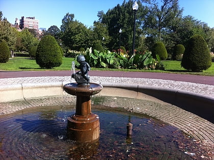
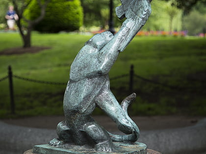
Nearby attractions include: Boston Public Garden Foot Bridge, Boy and Bird Fountain, Lotta Fountain, Longfellow Bridge.
Frequently Asked Questions (FAQ)
Which popular attractions are close to Hatch Memorial Shell?
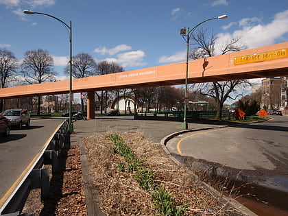
Nearby attractions include Edwin Upton Curtis Memorial, Boston (1 min walk), The Esplanade, Boston (1 min walk), Arthur Fiedler Footbridge, Boston (3 min walk), Church of the Advent, Boston (3 min walk).
How to get to Hatch Memorial Shell by public transport?
The nearest stations to Hatch Memorial Shell:
Metro
Light rail
Bus
Train
Metro
- Charles/MGH • Lines: Red (8 min walk)
- Park Street • Lines: Red (15 min walk)
Light rail
- Arlington • Lines: B, C, D, E (11 min walk)
- Copley • Lines: B, C, D, E (14 min walk)
Bus
- Boylston St @ Berkeley St • Lines: 9 (11 min walk)
- Arlington St @ Saint James Ave • Lines: 9 (12 min walk)
Train
- Boston Back Bay (18 min walk)
- Boston North Station (22 min walk)
 MBTA Subway


