Landmark Mall, Alexandria
Map

Map

Facts and practical information
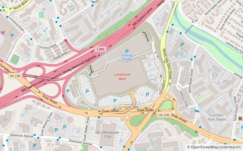
The Landmark Mall was an American shopping mall. Located in a triangle formed by Duke Street, Interstate 395, and Van Dorn Street in Alexandria, Virginia, the mall opened in 1965 and closed on January 31, 2017. The mall was anchored by Sears, Lord & Taylor and Macy's. ()
Coordinates: 38°48'59"N, 77°7'54"W
Day trips
Landmark Mall – popular in the area (distance from the attraction)
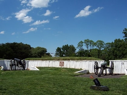
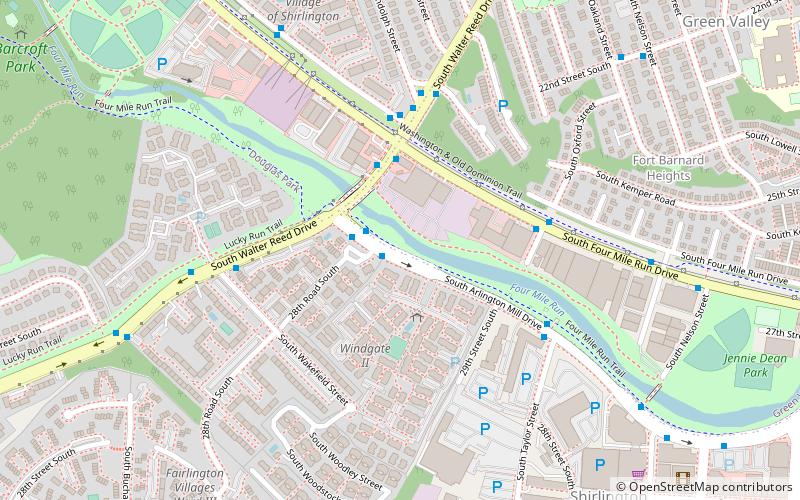
Nearby attractions include: Springfield Town Center, The Village at Shirlington, Holmes Run Trail, Fort Ward.
Frequently Asked Questions (FAQ)
How to get to Landmark Mall by public transport?
The nearest stations to Landmark Mall:
Bus
Metro
Bus
- Duke St + Walker St • Lines: AT1 Plus, At1+ (4 min walk)
- Holmes Run Pkwy + Van Dorn St • Lines: At5 (8 min walk)
Metro
- Van Dorn Street • Lines: Bl (31 min walk)


