Sherman Park, Chicago
Map
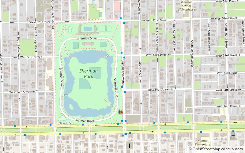
Map

Facts and practical information
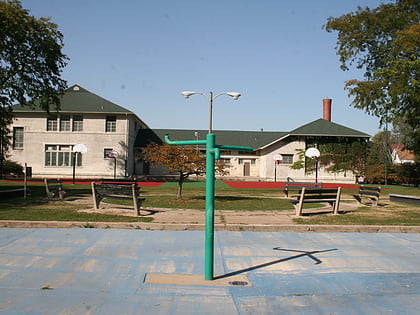
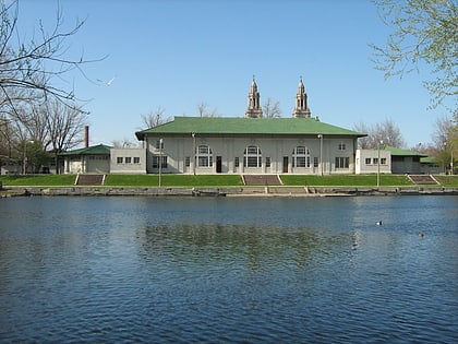
Sherman Park is a sixty-acre park in the New City neighborhood of South Side, Chicago. ()
Elevation: 594 ft a.s.l.Coordinates: 41°47'48"N, 87°39'18"W
Address
W 52nd StSouthwest Side (New City)Chicago 60609
Contact
+1 312-747-6672
Social media
Add
Day trips
Sherman Park – popular in the area (distance from the attraction)
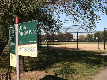
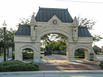
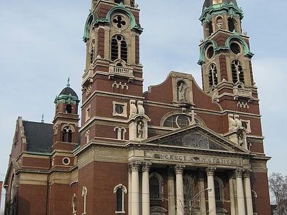
Nearby attractions include: Cornell Square Park, Davis Square Park, New City, Englewood Square.
Frequently Asked Questions (FAQ)
Which popular attractions are close to Sherman Park?
Nearby attractions include New City, Chicago (20 min walk), Cornell Square Park, Chicago (23 min walk).
How to get to Sherman Park by public transport?
The nearest stations to Sherman Park:
Bus
Bus
- Racine & 54th Street • Lines: 44 (2 min walk)
- Garfield & Racine WB • Lines: 55, (N) N55 (5 min walk)
 Rail "L"