Englewood, Chicago

Gallery (1)
Map
Map
Facts and practical information
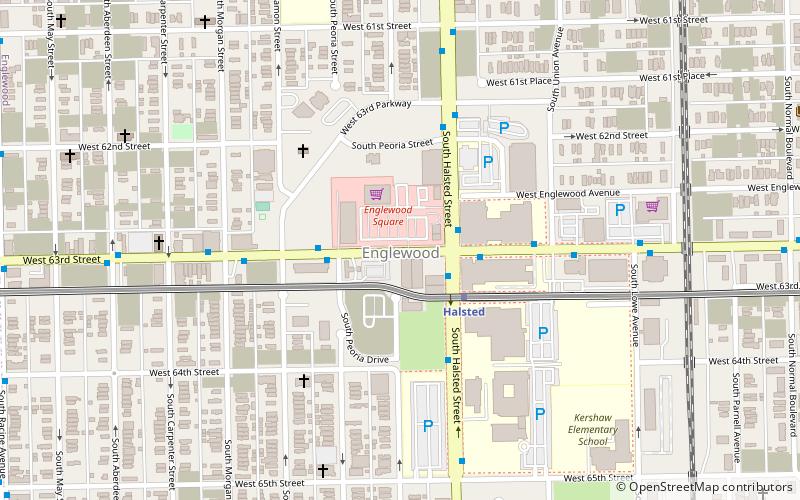
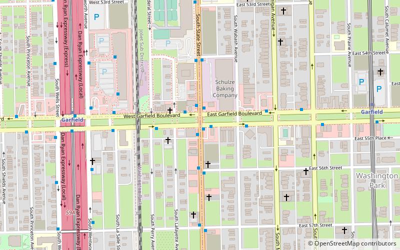
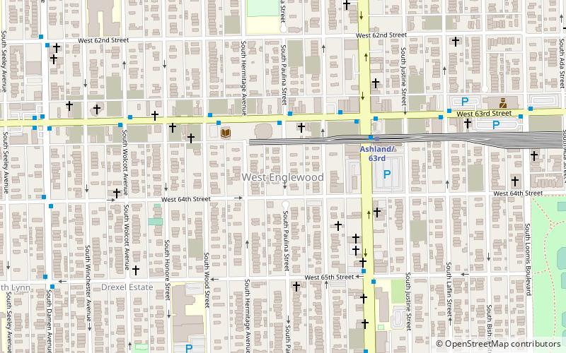
Englewood is one of the 77 official community areas in Chicago, Illinois, United States. At its peak population in 1960, over 97,000 people lived in its approximately 3 square miles, but the neighborhood's population has since dropped dramatically. In 2000, it had a population of approximately 40,000 inhabitants, and the 2010 census indicated that its population has further declined to approximately 30,000. Englewood is bordered by Garfield Boulevard to the north, 75th Street to the south, Racine Avenue to the west, and an irregular border that wends along the Metra Railroad Tracks to the east. On the west lies West Englewood, which is generally lumped in with Englewood by Chicagoans. It is located on the South Side of Chicago. ()
Getting there by public transportation
Public transportation stops near this location
- Metro
- Bus
 Metro
Metro
- Calculate route63rd Street & Halsted WB 1 min walk
- Calculate routeHalsted & 63rd Street 2 min walk
- Calculate routeHalsted 3 min walk
- Calculate route63rd 20 min walk
- Calculate routeAshland/63rd 24 min walk
- Calculate route69th 33 min walk
Maps Rail "L"
Rail "L"Day trips


Frequently Asked Questions (FAQ)
How to get to Englewood by public transport?
The nearest stations to Englewood:
Bus
Metro
Bus
- 63rd Street & Halsted WB • Lines: 63, (N) N63 (1 min walk)
- Halsted & 63rd Street • Lines: 8 (2 min walk)
Metro
- Halsted • Lines: Green (3 min walk)
- 63rd • Lines: Red (20 min walk)