Banneker Circle, Washington D.C.
Map
Facts and practical information
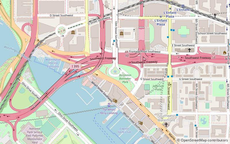
Banneker Circle is a partial traffic circle in Southwest Washington, D.C. The name of the circle commemorates Benjamin Banneker, an African American astronomer and almanac author. In 1791, Banneker assisted in the initial survey of the boundaries of the District of Columbia. The circle is near the south end of L'Enfant Promenade and the intersection of Interstate 395 and Maine Avenue. Benjamin Banneker Park is located in the center of the circle. ()
Coordinates: 38°52'54"N, 77°1'34"W
Getting there by public transportation
Public transportation stops near this location
- Metro
- Bus
- Train
 Metro
Metro
- Calculate routeL'Enfant Plaza 8 min walk
- Calculate routeSmithsonian 14 min walk
- Calculate routeL'Enfant 10 min walk
- Calculate routeRayburn 24 min walk
- Calculate routeU.S. Capitol 28 min walk
- Calculate routeRussell 32 min walk
- Calculate route4th St & N St SW 18 min walk
- Calculate route19th St & F St Northwest 37 min walk
- Calculate routeFlixBus Washington Union Station 39 min walk
- Calculate route21st St & F St Northwest 40 min walk
Day trips
Banneker Circle – popular in the area (distance from the attraction)
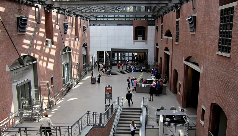
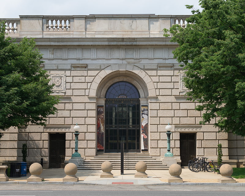
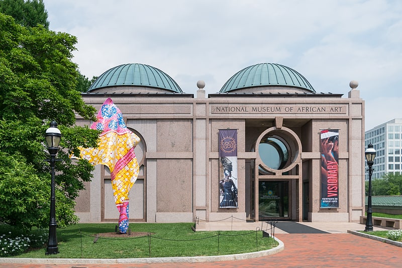
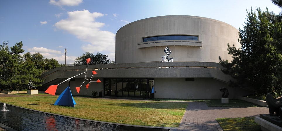
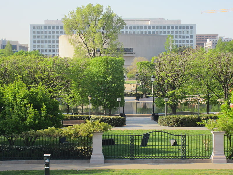
Nearby attractions include: United States Holocaust Memorial Museum, Freer Gallery of Art, National Museum of African Art, Hirshhorn Museum and Sculpture Garden.

Frequently Asked Questions (FAQ)
Which popular attractions are close to Banneker Circle?
Nearby attractions include The Wharf, Washington D.C. (3 min walk), Maine Avenue Fish Market, Washington D.C. (3 min walk), The Anthem, Washington D.C. (3 min walk), Maine Avenue, Washington D.C. (8 min walk).
How to get to Banneker Circle by public transport?
The nearest stations to Banneker Circle:
Metro
Train
Bus
Metro
- L'Enfant Plaza • Lines: Bl, Gr, Or, Sv, Yl (8 min walk)
- Smithsonian • Lines: Bl, Or, Sv (14 min walk)
Train
- L'Enfant (10 min walk)
- Rayburn (24 min walk)
Bus
- 4th St & N St SW • Lines: 74 (18 min walk)
- 19th St & F St Northwest (37 min walk)