Maine Avenue, Washington D.C.
Map

Map

Facts and practical information
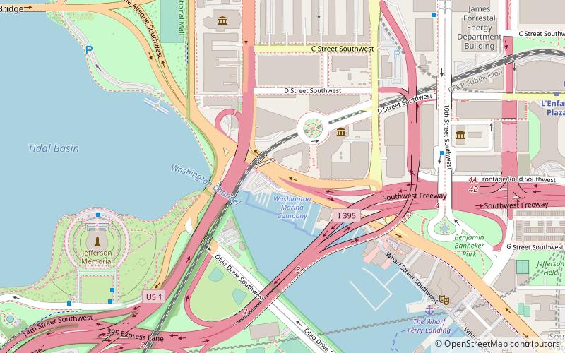
Maine Avenue is a diagonal avenue in the Southwest quadrant of Washington, D.C. Maine Avenue connects Independence Avenue with M Street SW, and has an interchange with Interstate 395. ()
Coordinates: 38°52'59"N, 77°1'51"W
Address
Southwest Washington (Southwest Employment Area)Washington D.C.
ContactAdd
Social media
Add
Day trips
Maine Avenue – popular in the area (distance from the attraction)
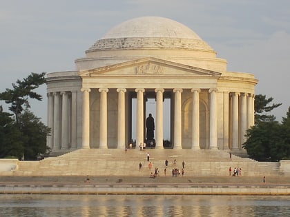
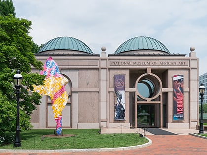
Nearby attractions include: Washington Monument, United States Holocaust Memorial Museum, Jefferson Memorial, Freer Gallery of Art.
Frequently Asked Questions (FAQ)
Which popular attractions are close to Maine Avenue?
Nearby attractions include National Mall and Memorial Parks, Washington D.C. (4 min walk), Francis Case Memorial Bridge, Washington D.C. (5 min walk), Maine Avenue Fish Market, Washington D.C. (6 min walk), Ohio Drive, Washington D.C. (7 min walk).
How to get to Maine Avenue by public transport?
The nearest stations to Maine Avenue:
Metro
Train
Bus
Metro
- Smithsonian • Lines: Bl, Or, Sv (12 min walk)
- L'Enfant Plaza • Lines: Bl, Gr, Or, Sv, Yl (13 min walk)
Train
- L'Enfant (15 min walk)
- Rayburn (30 min walk)
Bus
- 4th St & N St SW • Lines: 74 (24 min walk)
- 19th St & F St Northwest (31 min walk)


