Willoughby Park, Bethesda
Map
Map

Facts and practical information
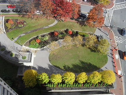
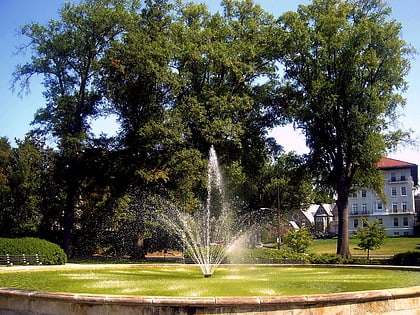
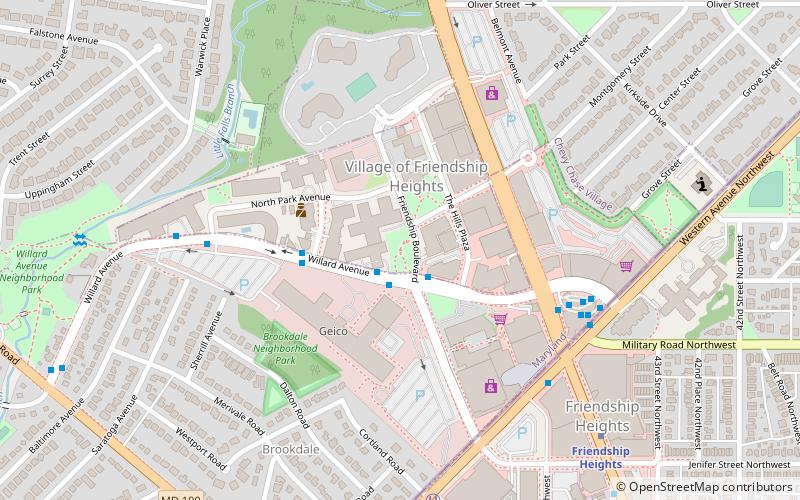
Willoughby Park is a city park in Friendship Heights, an incorporated area on the edge of Washington, D.C. Named after the adjacent Willoughby Condominium Building, it is at the intersection of Willard Ave and Friendship Boulevard. It is served by the Friendship Heights metro and bus station of the Washington Metro, which is located two blocks from the park. ()
Elevation: 285 ft a.s.l.Coordinates: 38°57'45"N, 77°5'21"W
Address
Bethesda (Friendship Village)Bethesda
ContactAdd
Social media
Add
Day trips
Willoughby Park – popular in the area (distance from the attraction)
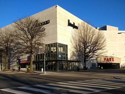
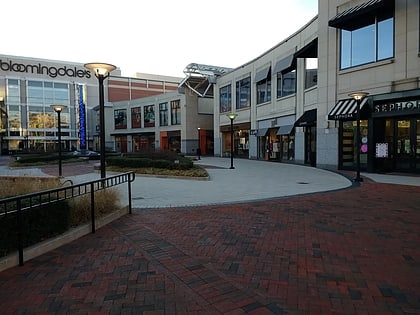
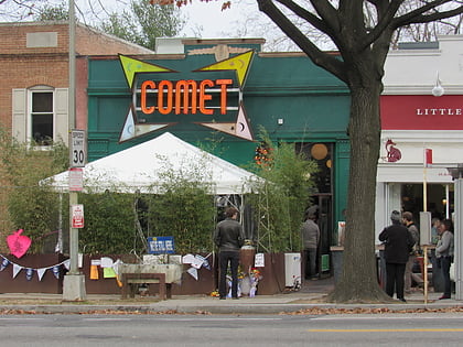
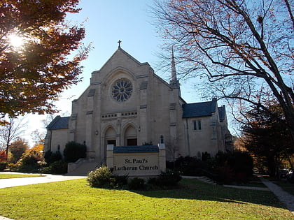
Nearby attractions include: Mazza Gallerie, The Shops at Wisconsin Place, Comet Ping Pong, St. Paul's Lutheran Church.
Frequently Asked Questions (FAQ)
Which popular attractions are close to Willoughby Park?
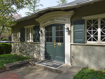
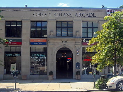
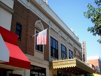
Nearby attractions include Friendship Heights, Washington D.C. (13 min walk), Western Avenue, Bethesda (17 min walk), Avalon Theatre, Washington D.C. (19 min walk), Chevy Chase Village, Bethesda (19 min walk).
How to get to Willoughby Park by public transport?
The nearest stations to Willoughby Park:
Bus
Metro
Bus
- Friendship Heights Metro • Lines: 1, 11, 23, 29, 30N, 30S, 31, 33, 34, 37, E4, E6, L2, L8, N2, N4, N6, T2 (10 min walk)
- Brookside Drive • Lines: T2 (24 min walk)
Metro
- Friendship Heights • Lines: Rd (8 min walk)
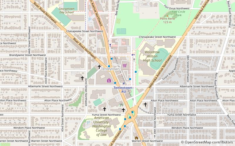
- Tenleytown–AU • Lines: Rd (29 min walk)
