Roy Wilkins Auditorium, Saint Paul
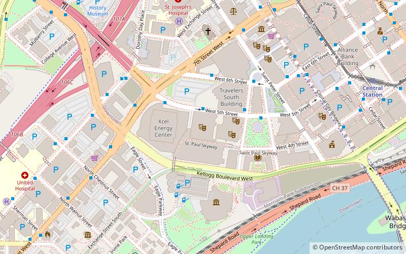
Map
Map

Facts and practical information
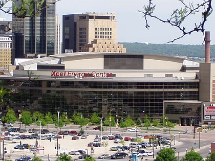
Roy Wilkins Auditorium is a 5,000-seat multi-purpose arena in St. Paul, Minnesota. Designed by the renowned municipal architect Clarence W. Wigington, it was built in 1932 as an arena extension to the existing St. Paul Auditorium. When the old auditorium wing was demolished in 1982, Wigington's arena wing remained. It was renamed for Roy Wilkins in 1985. It is part of the RiverCentre complex, down the hall from the Xcel Energy Center, home of the National Hockey League's Minnesota Wild. ()
Capacity: 5000Coordinates: 44°56'41"N, 93°5'58"W
Day trips
Roy Wilkins Auditorium – popular in the area (distance from the attraction)
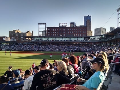
Nearby attractions include: Xcel Energy Center, Cray Plaza, Science Museum of Minnesota, CHS Field.
Frequently Asked Questions (FAQ)
Which popular attractions are close to Roy Wilkins Auditorium?
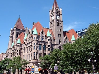
Nearby attractions include Ordway Center for the Performing Arts, Saint Paul (2 min walk), Xcel Energy Center, Saint Paul (3 min walk), Rice Park, Saint Paul (3 min walk), Landmark Center, Saint Paul (4 min walk).
How to get to Roy Wilkins Auditorium by public transport?
The nearest stations to Roy Wilkins Auditorium:
Bus
Light rail
Train
Bus
- 5th Street & 7th Street • Lines: 351, 351H, 353, 363, 94D, 94F (3 min walk)
- 6th Street & Washington Street • Lines: 351, 351H, 353, 363, 94D, 94F (4 min walk)
Light rail
- Central Station • Lines: 902 (10 min walk)
- 10th Street • Lines: 902 (11 min walk)
Train
- Saint Paul Union Depot (19 min walk)

