Walhalla Glades Trail, Grand Canyon National Park
#126 among attractions in Grand Canyon National Park

Facts and practical information
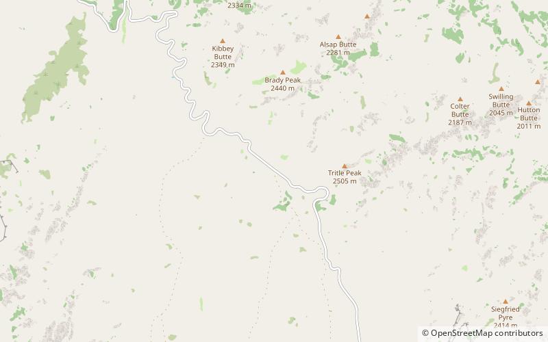
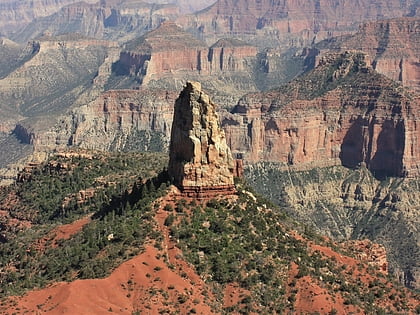
The Walhalla Glades Trail is a hiking trail located on the North Rim of the Grand Canyon in Grand Canyon National Park in the U.S. state of Arizona. ()
Grand Canyon National Park United States
Walhalla Glades Trail – popular in the area (distance from the attraction)
Nearby attractions include: North Kaibab Trail, Mount Hayden, Bright Angel Point Trail, Brady Peak.
 Hiking, Hiking trail, Vernacular architecture
North Kaibab Trail, Grand Canyon National Park
129 min walk • The North Kaibab Trail is a hiking trail in the North Rim side of the Grand Canyon, in Grand Canyon National Park, located in the U.S. state of Arizona.
 Mountain
Mount Hayden, Grand Canyon National Park
87 min walk • Mount Hayden is an 8,362-foot-elevation summit located in the Grand Canyon, in Coconino County of Arizona, United States. It is situated one-half mile southeast of the Point Imperial viewpoint, on the canyon's North Rim, where it towers 5,000 feet above the bottom of Nankoweap Canyon.
 Hiking, Hiking trail, Vernacular architecture
Bright Angel Point Trail, Grand Canyon National Park
131 min walk • The Bright Angel Point Trail is a hiking trail located on the North Rim of the Grand Canyon National Park, located in the U.S. state of Arizona.
 Mountain
Brady Peak, Grand Canyon National Park
36 min walk • Brady Peak is an 8,121-foot-elevation summit located in the Grand Canyon, in Coconino County of northern Arizona, United States.
 Butte
ButteHancock Butte, Grand Canyon National Park
69 min walk • Hancock Butte is a 7,683-foot-elevation summit located in the Grand Canyon, in Coconino County of northern Arizona, US. It is situated one mile south of the Point Imperial viewpoint on the canyon's North Rim, where it towers 3,700 feet above Nankoweap Canyon.
 Mountain
Gunther Castle, Grand Canyon National Park
135 min walk • Gunther Castle is a 7,199-foot-elevation summit located in the Grand Canyon, in Coconino County of northern Arizona, US. It is situated three miles northwest of Chuar Butte, between Kwagunt Valley to the north, and Chuar Valley to the south.
 Cliff
CliffAtoko Point, Grand Canyon National Park
51 min walk • Atoko Point is a 8,382 ft-cliff-elevation Point located in the eastern Grand Canyon, Coconino County of northern Arizona, United States.
 Lake
LakeGreenland Lake, Grand Canyon National Park
50 min walk • Greenland Lake is a small, intermittent lake of northern Arizona, located at the north neck of the Walhalla Plateau, in the northeast Grand Canyon.
 Mountain
Hubbell Butte, Grand Canyon National Park
114 min walk • Hubbell Butte is a 6,740 ft-elevation summit located in the eastern Grand Canyon, in Coconino County of northern Arizona, United States. It is situated ~1.5 miles northeast of Cape Final.
 Butte
ButteAlsap Butte, Grand Canyon National Park
53 min walk • Alsap Butte is a 7,494-foot-elevation summit located in the Grand Canyon in Coconino County of northern Arizona, USA. It is situated two miles north of the Roosevelt Point on the canyon's North Rim, where it towers 3,700 feet above Nankoweap Canyon.
 Butte
ButteColter Butte, Grand Canyon National Park
72 min walk • Colter Butte is a 7,254-foot-elevation summit located in the Grand Canyon in Coconino County of northern Arizona, US. It is situated four miles southeast of Point Imperial, where it towers 3,600 feet above Nankoweap Canyon.