Wallace Falls State Park
Map

Map

Facts and practical information
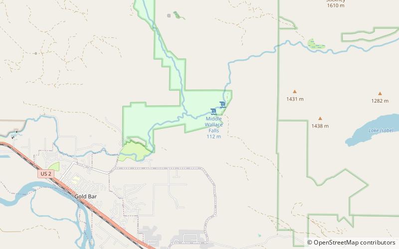
Wallace Falls State Park is a public recreation area that encompasses 1,380 acres along the Wallace River in Snohomish County, Washington. The state park is located on the west side of the Cascade Mountains with an entrance point one mile northeast of the community of Gold Bar. The park features three waterfalls, three backcountry lakes, old-growth coniferous forests, rushing mountain rivers and streams, and the evidence of its logging history in the ruins of railroad trestles, disused railroad grades, and springboard notches in stumps. ()
Established: 1971 (55 years ago)Coordinates: 47°52'14"N, 121°39'14"W
Day trips
Wallace Falls State Park – popular in the area (distance from the attraction)
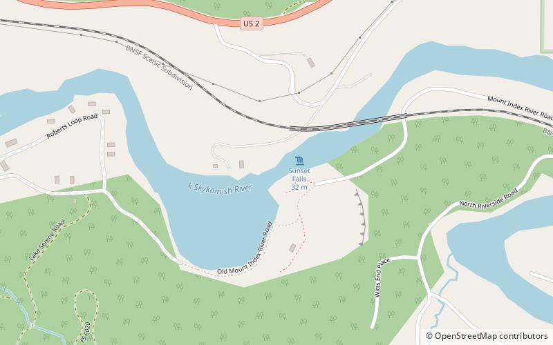
Nearby attractions include: Sunset Falls, Bridal Veil Falls, Canyon Falls.


