Bridal Veil Falls, Mount Baker–Snoqualmie National Forest
Map

Map

Facts and practical information
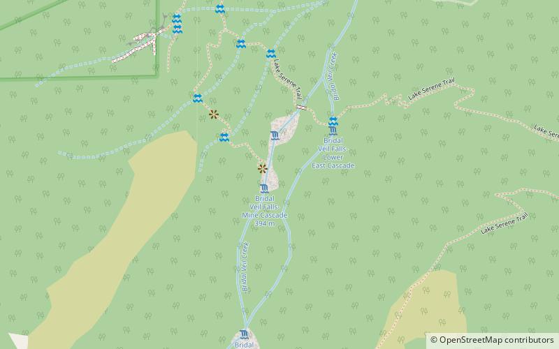
Bridal Veil Falls is a 1,328-foot waterfall that flows from Lake Serene directly to the South Fork Skykomish River on the creek of the same name in the U.S. state of Washington. It is a perennial 150-foot wide drop with four tiers, two of which are clearly visible. It is at 47.78950°N 121.56924°W / 47.78950; -121.56924. ()
Height: 1291 ftCoordinates: 47°47'24"N, 121°34'8"W
Address
Mount Baker–Snoqualmie National Forest
ContactAdd
Social media
Add
Day trips
Bridal Veil Falls – popular in the area (distance from the attraction)
Nearby attractions include: Sunset Falls, Canyon Falls, Eagle Falls, Mount Index.


