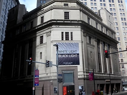
City View, Pittsburgh
Map
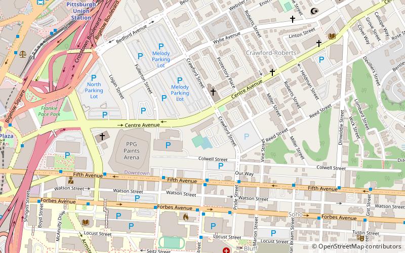
Map

Facts and practical information
City View is a 300 ft residential highrise in Pittsburgh, Pennsylvania. It was completed in 1964 and has 24 floors. It is tied with the Commonwealth Building and The Carlyle for the 26th tallest building in Pittsburgh. It was designed by I.M. Pei. From its inception in 1964 until 2014 it was known as Washington Plaza. ()
Completed: 1964 (62 years ago)Height: 300 ftFloors: 24Coordinates: 40°26'25"N, 79°59'11"W
Address
1420 Centre AvenueCentral Pittsburgh (Downtown Pittsburgh)Pittsburgh
Contact
Social media
Add
Day trips
City View – popular in the area (distance from the attraction)
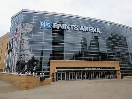
Nearby attractions include: PPG Paints Arena, Benedum Center, Heinz History Center, Warner Centre.
Frequently Asked Questions (FAQ)
Which popular attractions are close to City View?
Nearby attractions include St. Benedict the Moor Catholic Church, Pittsburgh (3 min walk), Reymer Brothers Candy Factory, Pittsburgh (5 min walk), Church of the Epiphany, Pittsburgh (6 min walk), Bluff, Pittsburgh (8 min walk).
How to get to City View by public transport?
The nearest stations to City View:
Bus
Train
Light rail
Bus
- Penn Station (10 min walk)
- Penn Station D • Lines: 1, 71, Metro Commuter (10 min walk)
Train
- Pittsburgh Union Station (11 min walk)
Light rail
- Steel Plaza • Lines: Blue, Red, Silver (12 min walk)
- First Avenue • Lines: Blue, Red, Silver (17 min walk)

