Zion – Mount Carmel Highway, Zion National Park

Gallery (3)
Map
Map
Gallery
Facts and practical information
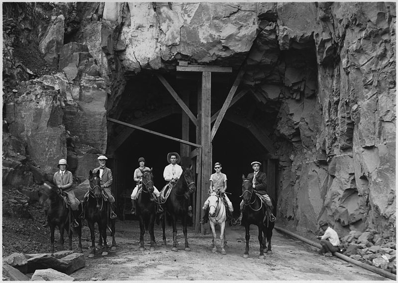
The Zion – Mount Carmel Highway is a 25-mile long road in Washington and Kane counties in southern Utah, United States, that is listed on the National Register of Historic Places and is a National Historic Civil Engineering Landmark. ()
Built: 1930 (96 years ago)Coordinates: 37°13'19"N, 112°55'59"W
Address
Zion National Park
ContactAdd
Social media
Add
Day trips


