Ant Hill, Zion National Park
Map
Gallery
Facts and practical information
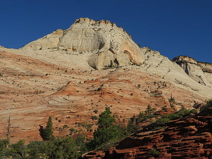
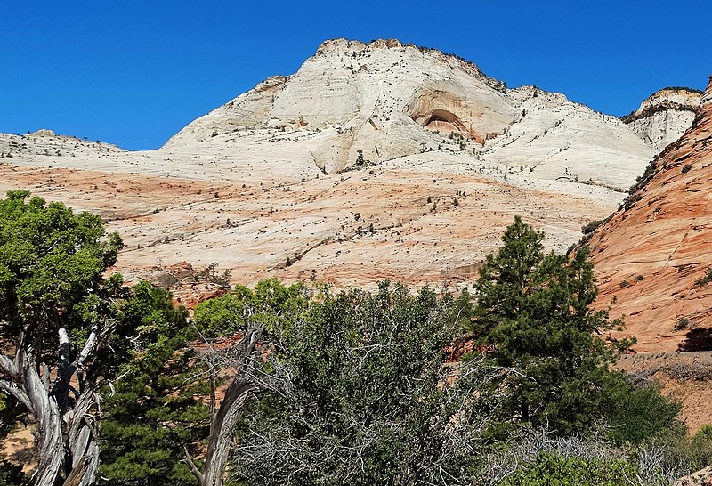
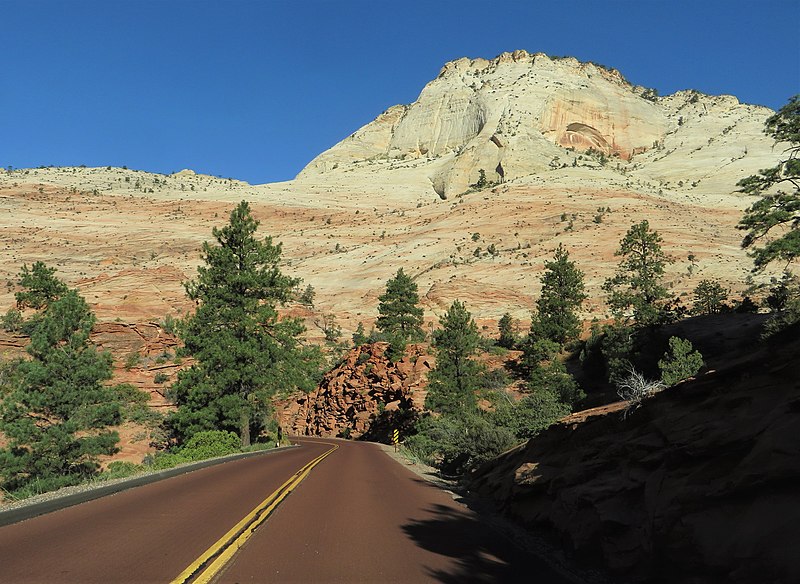
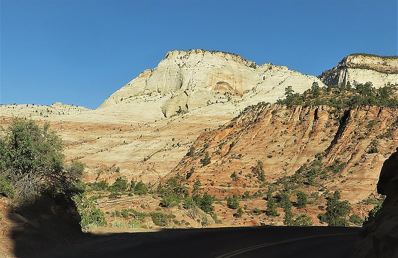
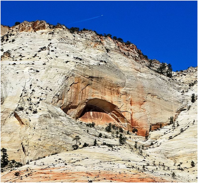
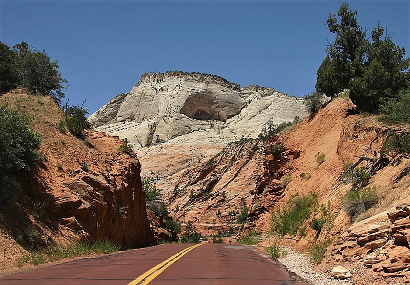
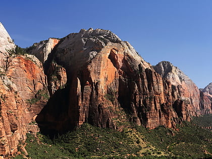
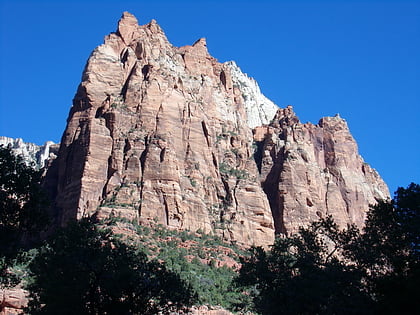
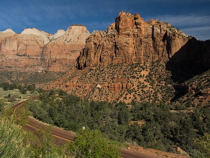
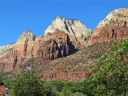
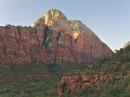
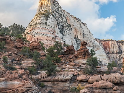
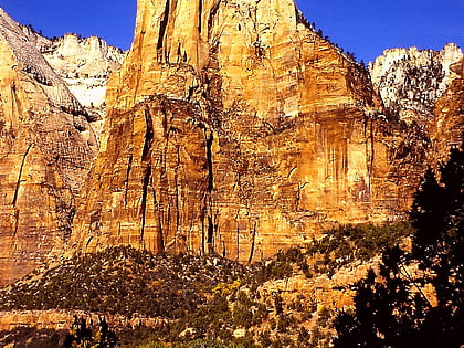
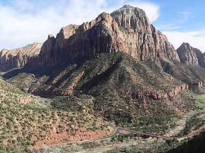
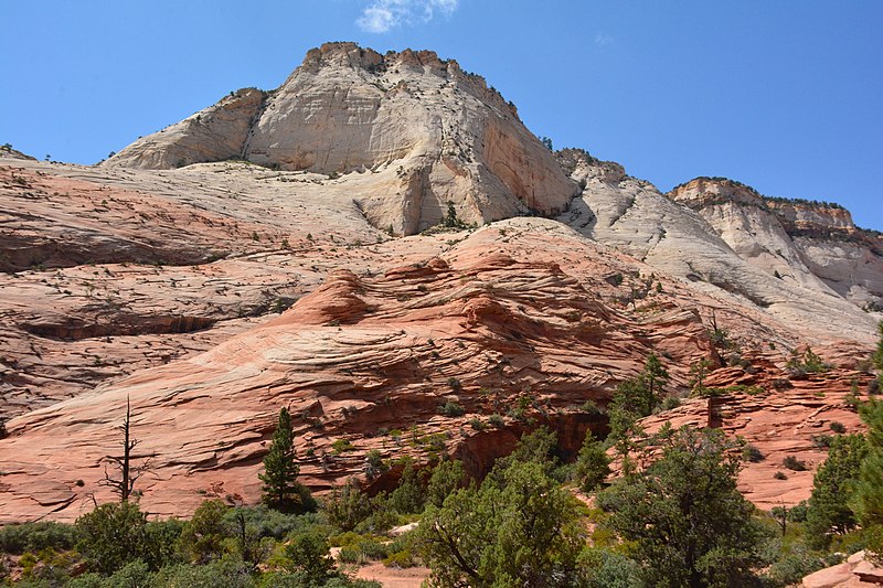
Ant Hill is a 6,641-foot summit located in Zion National Park, in Washington County of southwest Utah, United States. It is composed of white Navajo Sandstone, and rises 1400-feet above the Zion – Mount Carmel Highway. Ant Hill is situated 1.65 mi east-northeast of The East Temple, and 2.4 mi west-northwest of Checkerboard Mesa. Precipitation runoff from this mountain drains into tributaries of the Virgin River. Despite its benign name, an ascent of this mountain is a dangerous and exposed climb. ()
Coordinates: 37°13'35"N, 112°55'19"W
Address
Zion National Park
ContactAdd
Social media
Add
Day trips
Ant Hill – popular in the area (distance from the attraction)
Nearby attractions include: Cable Mountain, Lady Mountain, Red Arch Mountain, The East Temple.
Frequently Asked Questions (FAQ)
Which popular attractions are close to Ant Hill?
Nearby attractions include Zion – Mount Carmel Highway, Zion National Park (18 min walk), Aires Butte, Zion National Park (23 min walk).
