Sunol Regional Wilderness, San Jose

Gallery (1)
Map
Map
Facts and practical information
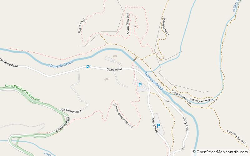
The Sunol Regional Wilderness is a regional park in Alameda County, the eastern San Francisco Bay Area, Northern California. It is located near the town of Sunol, south of Pleasanton and east of Fremont. ()
Created: 1962Coordinates: 37°30'54"N, 121°49'52"W
Address
San Jose
ContactAdd
Social media
Add
Day trips