Cumberland Trail, Chattanooga
Map
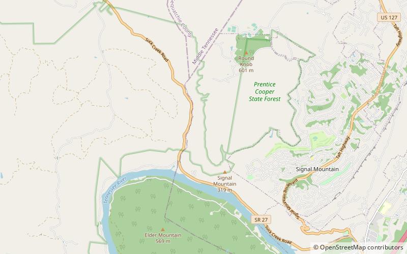
Map

Facts and practical information
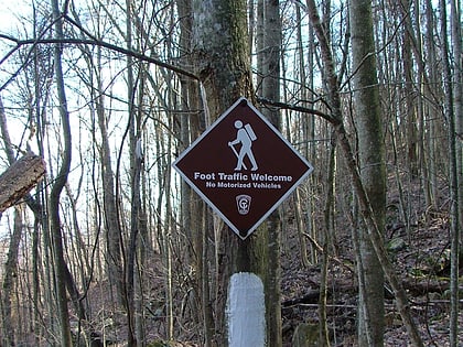
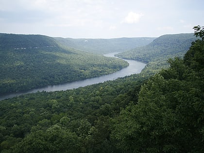
The Justin P. Wilson Cumberland Trail State Park, commonly known as the Cumberland Trail, is a Tennessee hiking trail following a line of ridges and gorges along the eastern escarpment of the Cumberland Plateau and Cumberland Mountains in Tennessee. The trail begins at Cumberland Gap National Historical Park and ends at Chickamauga and Chattanooga National Military Park and Prentice Cooper Wildlife Management Area just outside Chattanooga, Tennessee. The trail travels through 11 Tennessee counties and two time zones. ()
Coordinates: 35°8'2"N, 85°22'55"W
Day trips
Cumberland Trail – popular in the area (distance from the attraction)
Nearby attractions include: AT&T Field, Tennessee Aquarium, Tennessee River Blueway, Hunter Museum of American Art.
