Mississippi National River and Recreation Area, Saint Paul

Facts and practical information
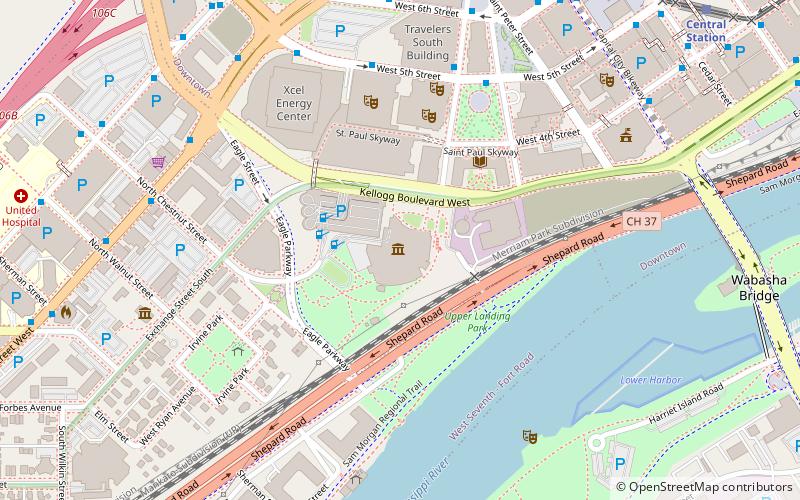
The Mississippi National River and Recreation Area is a 72-mile and 54,000-acre protected corridor along the Mississippi River through the Minneapolis–Saint Paul metro in the U.S. state of Minnesota, from the cities of Dayton and Ramsey, to just downstream of Hastings. This stretch of the upper Mississippi River includes natural, historical, recreational, cultural, scenic, scientific, and economic resources of national significance. This area is the only national park site dedicated exclusively to the Mississippi River. The Mississippi National River and Recreation Area is sometimes abbreviated as MNRRA or MISS, the four letter code assigned to the area by the National Park Service. The Mississippi National River and Recreation Area is classified as one of four national rivers in the United States, and despite its name it is technically not one of the 40 national recreation areas. ()
Mississippi National River and Recreation Area – popular in the area (distance from the attraction)
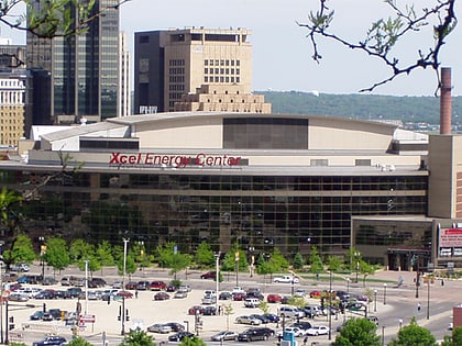
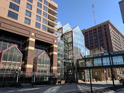
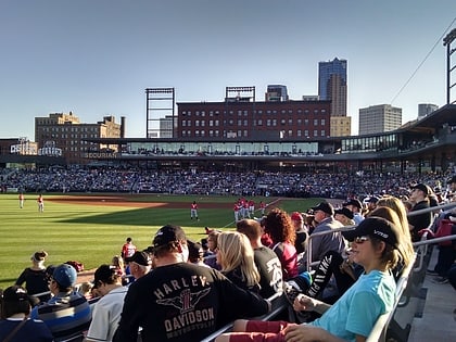
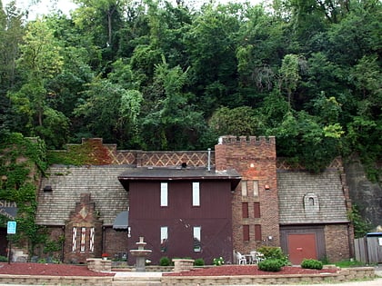
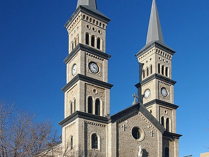
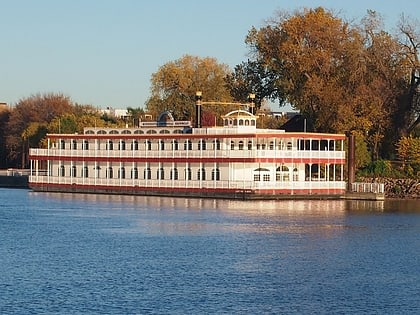
Nearby attractions include: Xcel Energy Center, Cray Plaza, Science Museum of Minnesota, CHS Field.
Frequently Asked Questions (FAQ)
Which popular attractions are close to Mississippi National River and Recreation Area?
How to get to Mississippi National River and Recreation Area by public transport?
Bus
- 5th Street & Market Street • Lines: 351, 351H, 353, 363, 94D, 94F (6 min walk)
- 6th Street & 7th Street • Lines: 351, 351H, 353, 363, 94D, 94F (7 min walk)
Light rail
- Central Station • Lines: 902 (11 min walk)
- 10th Street • Lines: 902 (15 min walk)
Train
- Saint Paul Union Depot (20 min walk)

