101 Clarendon Street, Boston
Facts and practical information
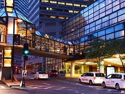
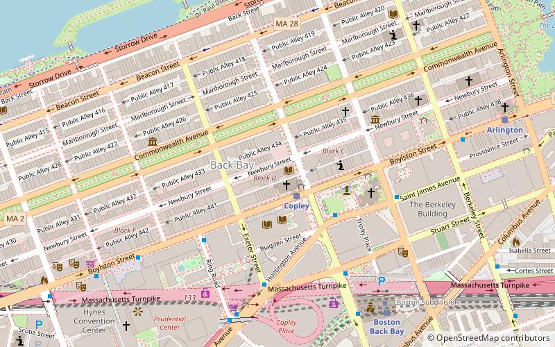
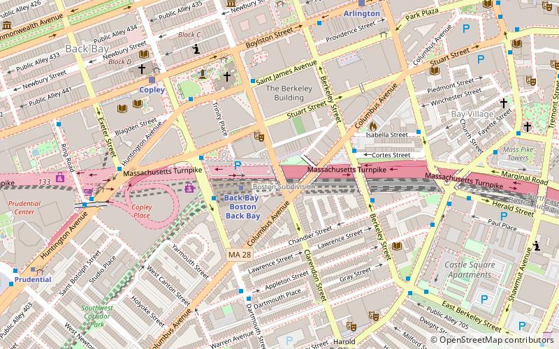
101 Clarendon Street, also known as Columbus Center, was a proposed skyscraper planned for Boston, Massachusetts. If completed, it would have stood as the 25th-tallest building in Boston. Continuing on the trend established by the Prudential Tower in 1964, the completed building would have concealed more of the Massachusetts Turnpike by utilizing air rights above it. The location would have been above the turnpike, directly to the east of Back Bay station and south of Copley Square in the Back Bay neighborhood of Boston. The project would have "united the city’s Back Bay and South End neighborhoods." ()
Boston
101 Clarendon Street – popular in the area (distance from the attraction)
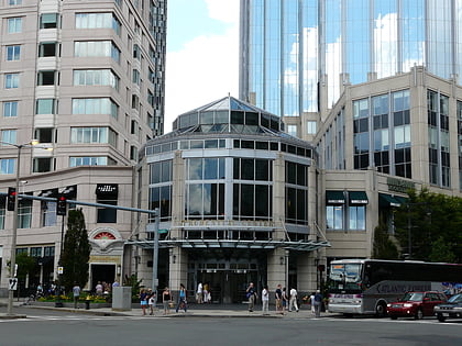
Nearby attractions include: Copley Place, Club Café, Trinity Church, Copley Square.
Frequently Asked Questions (FAQ)
Which popular attractions are close to 101 Clarendon Street?
How to get to 101 Clarendon Street by public transport?
Metro
- Back Bay • Lines: Orange (2 min walk)
- Tufts Medical Center • Lines: Orange (13 min walk)
Train
- Boston Back Bay (2 min walk)
- Boston South Station (26 min walk)
Bus
- Berkeley St @ Columbus Ave • Lines: 9 (4 min walk)
- Stuart St @ Dartmouth St • Lines: 502, 504 (4 min walk)
Light rail
- Copley • Lines: B, C, D, E (7 min walk)
- Arlington • Lines: B, C, D, E (8 min walk)
 MBTA Subway