Norman B. Leventhal Map Center, Boston
Map
Gallery
Facts and practical information
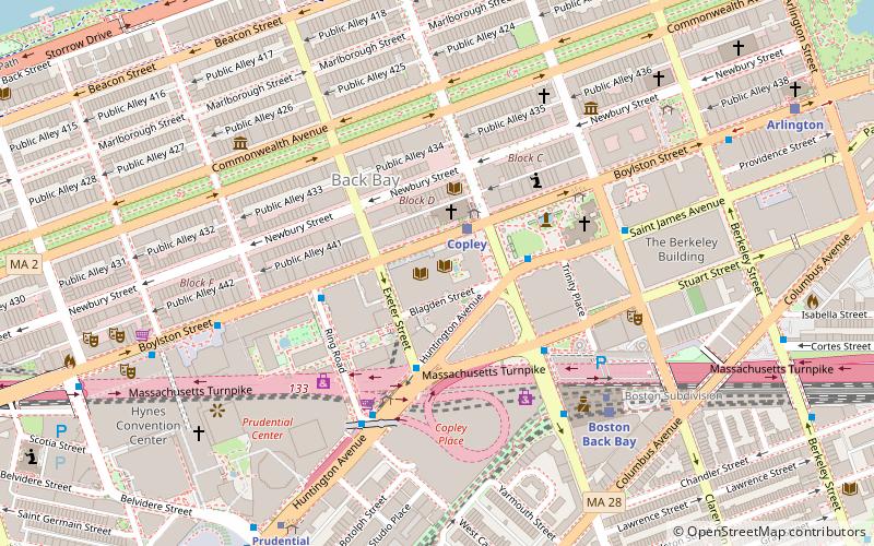
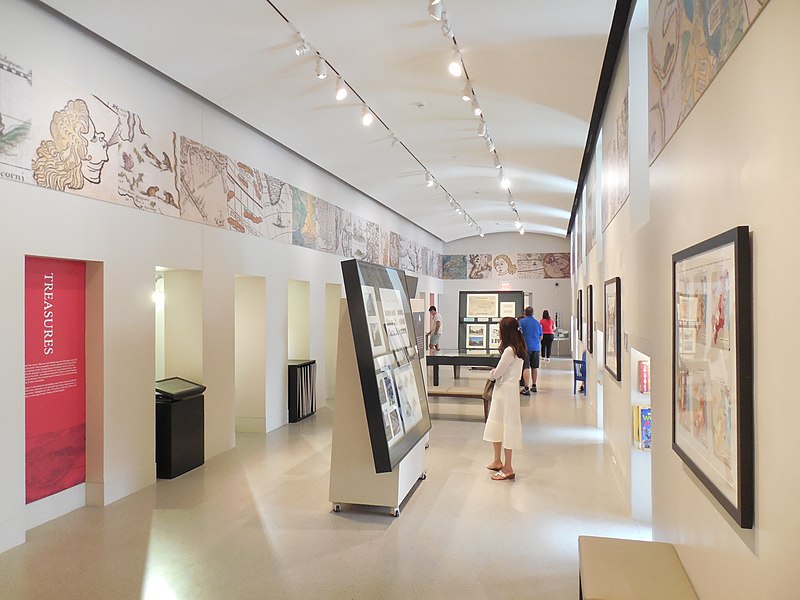
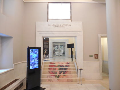
The Norman B. Leventhal Map & Education Center at the Boston Public Library is a special collections center in Boston, Massachusetts with research, educational, and exhibition programs relating to historical geography. It is the steward of the Boston Public Library’s map collection, consisting of approximately a quarter million geographic objects, including maps, atlases, globes, ephemera, and geographic data. It is located in the McKim Building of the Central Library in Copley Square. ()
Coordinates: 42°20'58"N, 71°4'42"W
Address
Back BayBoston
Contact
+1 617-859-2387
Social media
Add
Day trips
Norman B. Leventhal Map Center – popular in the area (distance from the attraction)
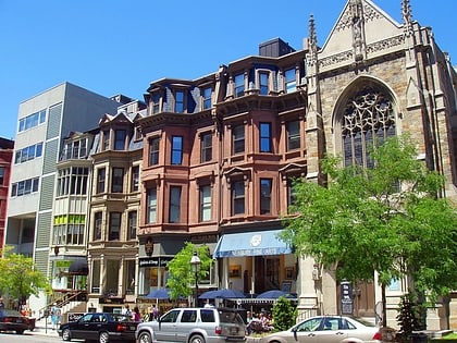
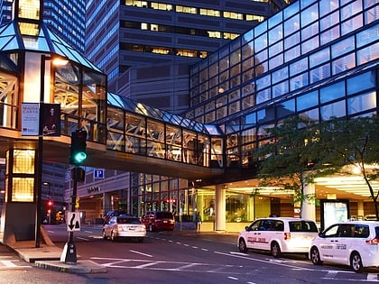
Nearby attractions include: Newbury Street, Copley Place, Club Café, Skywalk Observatory.
Frequently Asked Questions (FAQ)
Which popular attractions are close to Norman B. Leventhal Map Center?
Nearby attractions include Boston Public Library, Boston (1 min walk), Old South Church, Boston (2 min walk), Copley Society of Art, Boston (3 min walk), Exeter Street Theatre, Boston (3 min walk).
How to get to Norman B. Leventhal Map Center by public transport?
The nearest stations to Norman B. Leventhal Map Center:
Light rail
Bus
Train
Metro
Light rail
- Copley • Lines: B, C, D, E (2 min walk)
- Prudential • Lines: E (8 min walk)
Bus
- Saint James Ave @ Dartmouth St • Lines: 10, 39, 502, 504, 55, 9 (3 min walk)
- Ring Rd @ Boylston St • Lines: 9 (4 min walk)
Train
- Boston Back Bay (6 min walk)
- Ruggles (27 min walk)
Metro
- Back Bay • Lines: Orange (6 min walk)
- Massachusetts Avenue • Lines: Orange (17 min walk)
 MBTA Subway