19th Avenue, San Francisco
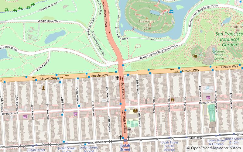
Map
Facts and practical information
19th Avenue is a north-south city street in San Francisco, California. It consists of two non-contiguous segments that are separated by Golden Gate Park. The southern segment is a six-lane arterial thoroughfare, mostly signed as part of California State Route 1, that goes through the southwestern part of the city. The non-contiguous northern segment is primarily a residential street through the Richmond District. ()
Coordinates: 37°45'55"N, 122°28'38"W
Address
Southwest San Francisco (Inner Sunset)San Francisco
ContactAdd
Social media
Add
Getting there by public transportation
Public transportation stops near this location
- Bus
- Trolleybus
- Light rail
- Train
 Bus
Bus
- Calculate routeLincoln Way & 19th Avenue 1 min walk
- Calculate route19th Avenue & Lincoln Way 1 min walk
- Calculate routeLincoln Way & 17th Avenue 3 min walk
- Calculate route19th Avenue & Irving Street 4 min walk
- Calculate routeJudah Street & 19th Avenue 7 min walk
- Calculate routeUCSF Parnassus 27 min walk
- Calculate routeJudah Street & 19th Avenue 7 min walk
- Calculate routeFulton Street & Arguello Boulevard 31 min walk
- Calculate routeArguello Boulevard & Balboa Street 34 min walk
- Calculate route32nd Avenue & Geary Boulevard 34 min walk
Maps Muni Metro
Muni MetroDay trips


Frequently Asked Questions (FAQ)
Which popular attractions are close to 19th Avenue?
Nearby attractions include Strawberry Hill, San Francisco (6 min walk), Golden Gate Park, San Francisco (8 min walk), Golden Gate Park, San Francisco (10 min walk), San Francisco Botanical Garden, San Francisco (10 min walk).
How to get to 19th Avenue by public transport?
The nearest stations to 19th Avenue:
Bus
Train
Light rail
Trolleybus
Bus
- Lincoln Way & 19th Avenue • Lines: 29, 7 (1 min walk)
- 19th Avenue & Lincoln Way • Lines: 28, 29, 91 (1 min walk)
Train
- Judah Street & 19th Avenue (7 min walk)
- UCSF Parnassus (27 min walk)
Light rail
- Judah Street & 19th Avenue • Lines: N (7 min walk)
Trolleybus
- Fulton Street & Arguello Boulevard • Lines: 33 (31 min walk)
- Arguello Boulevard & Balboa Street • Lines: 33 (34 min walk)