53rd Street, New York City
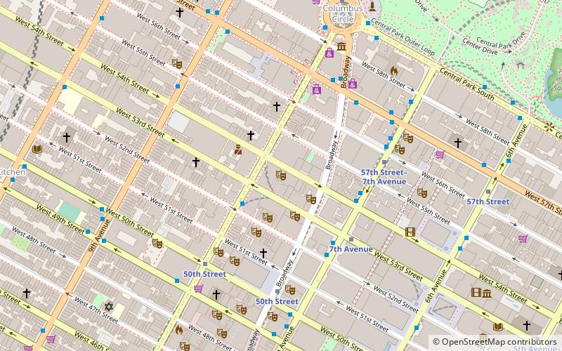
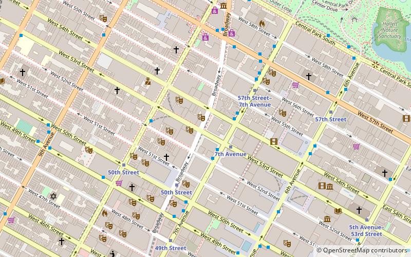
Map
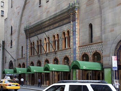
Gallery
Facts and practical information
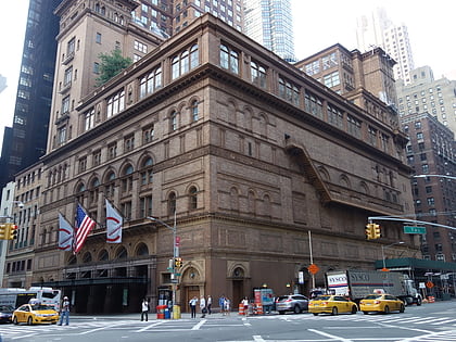
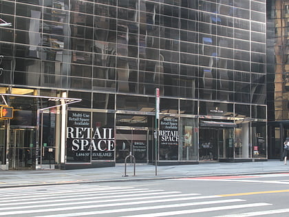
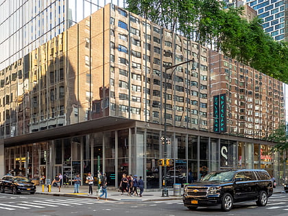
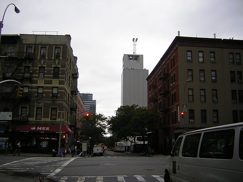
53rd Street is a midtown cross street in the New York City borough of Manhattan, that runs adjacent to buildings such as the Citigroup building. It is 1.83 miles long. The street runs westbound from Sutton Place across most of the island's width, ending at DeWitt Clinton Park at Eleventh Avenue. ()
Day trips
53rd Street – popular in the area (distance from the attraction)
Nearby attractions include: Times Square Church, Carnegie Hall, Neil Simon Theatre, 6½ Avenue.
Frequently Asked Questions (FAQ)
Which popular attractions are close to 53rd Street?
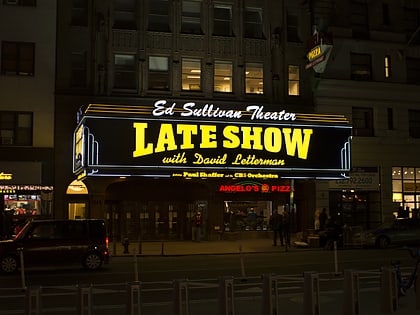
Nearby attractions include Ed Sullivan Theater, New York City (1 min walk), Broadway Theatre, New York City (1 min walk), New York Jazz Museum, New York City (2 min walk), Dillon's Reprise Room, New York City (2 min walk).
How to get to 53rd Street by public transport?
The nearest stations to 53rd Street:
Metro
Bus
Train
Ferry
Metro
- 7th Avenue • Lines: B, D, E (2 min walk)
- 50th Street • Lines: 1, 2 (2 min walk)
Bus
- 7th Avenue & West 53rd Street • Lines: M104, M20, M7 (2 min walk)
- 7th Avenue & West 54th Street • Lines: M104, M7 (2 min walk)
Train
- Grand Central Terminal (21 min walk)
- Pennsylvania Station (27 min walk)
Ferry
- Midtown/West 39th Street (29 min walk)

 Subway
 Manhattan Buses
