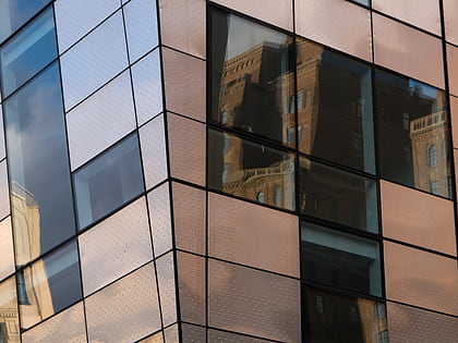
Eleventh Avenue, New York City
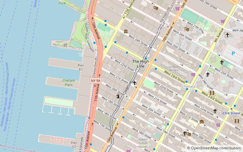
Map
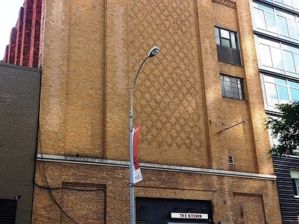
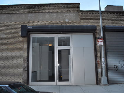
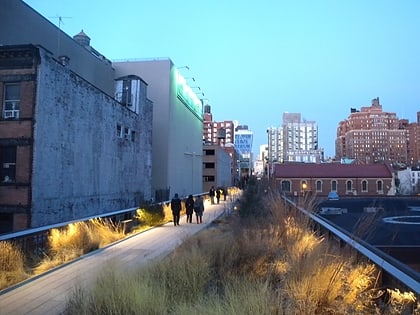
Gallery
Facts and practical information
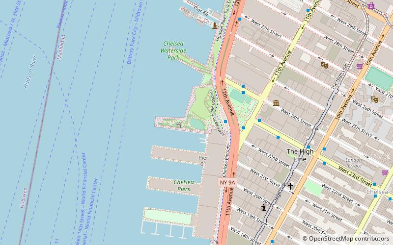
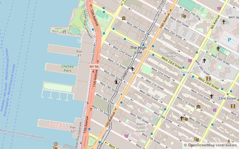
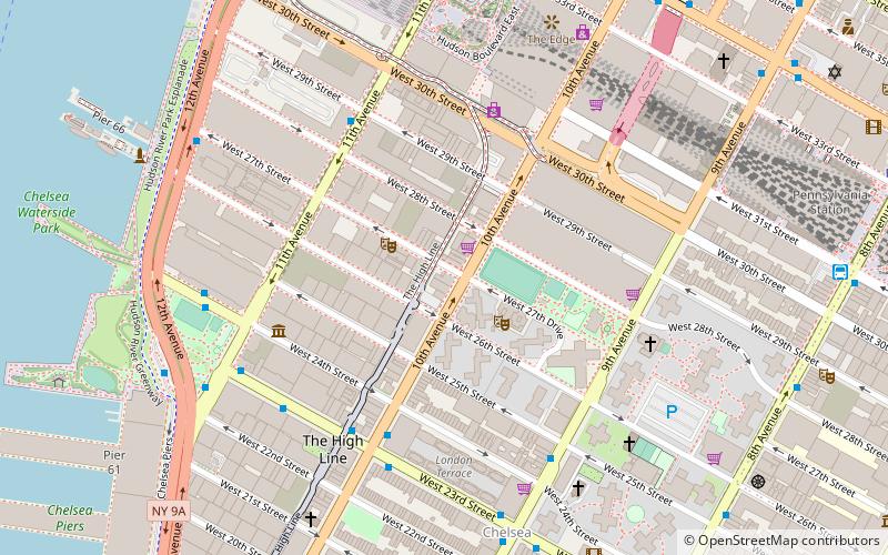
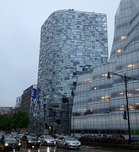
Eleventh Avenue is a north–south thoroughfare on the far West Side of the borough of Manhattan in New York City, located near the Hudson River. Eleventh Avenue originates in the Meatpacking District in the Greenwich Village and West Village neighborhoods at Gansevoort Street, where Eleventh Avenue, Tenth Avenue, and West Street intersect. It is considered part of the West Side Highway between 22nd and Gansevoort Streets. ()
Address
Midtown Manhattan (Chelsea)New York City
ContactAdd
Social media
Add
Day trips
Eleventh Avenue – popular in the area (distance from the attraction)
Nearby attractions include: High Line, Pier 62 Skatepark, Jack Shainman Gallery, Chelsea Piers.
Frequently Asked Questions (FAQ)
Which popular attractions are close to Eleventh Avenue?
Nearby attractions include Zach Feuer Gallery, New York City (2 min walk), Chelsea Art Museum, New York City (2 min walk), Morgan Lehman Gallery, New York City (3 min walk), Kent Fine Art, New York City (3 min walk).
How to get to Eleventh Avenue by public transport?
The nearest stations to Eleventh Avenue:
Bus
Metro
Train
Ferry
Light rail
Bus
- 12th Avenue & West 23rd Street • Lines: M23 Sbs (2 min walk)
- West 24th Street & 11th Avenue • Lines: M23 Sbs (3 min walk)
Metro
- 23rd Street • Lines: A, C, E (14 min walk)
- 34th Street–Hudson Yards • Lines: <7>, 7 (15 min walk)
Train
- Pennsylvania Station (18 min walk)
- New York Penn Station (20 min walk)
Ferry
- Hoboken 14th Street (22 min walk)
- Midtown/West 39th Street (22 min walk)
Light rail
- Lincoln Harbor • Lines: Hblr (32 min walk)
- Hoboken Terminal • Lines: Hblr (39 min walk)



 Subway
 Manhattan Buses
