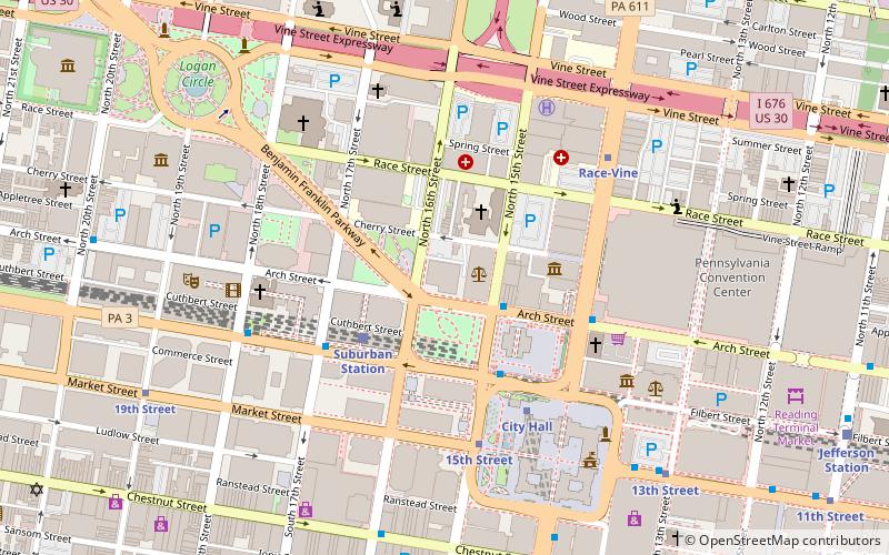
American Commerce Center, Philadelphia
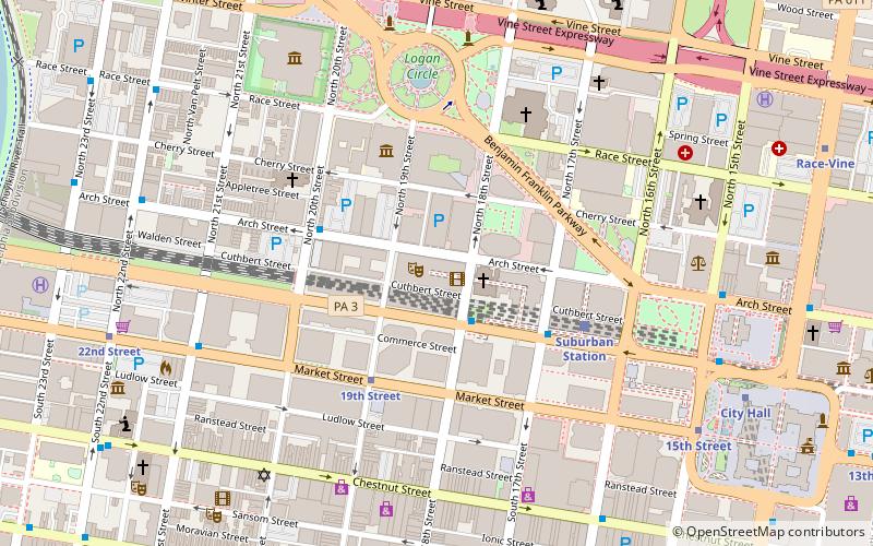
Map
Facts and practical information
The American Commerce Center was a proposed supertall skyscraper approved for construction in Philadelphia, Pennsylvania but cancelled due to the 2008 recession. The Comcast Innovation and Technology Center now stands on the site. ()
Coordinates: 39°57'18"N, 75°10'13"W
Address
Center City (Logan Square)Philadelphia
ContactAdd
Social media
Add
Day trips
American Commerce Center – popular in the area (distance from the attraction)
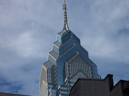
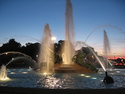
Nearby attractions include: Liberty Place, Logan Circle, Academy of Natural Sciences of Drexel University, Comcast Center.
Frequently Asked Questions (FAQ)
Which popular attractions are close to American Commerce Center?
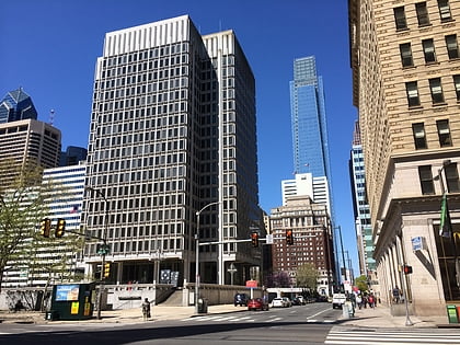
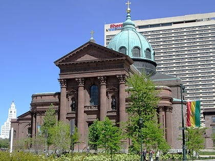
Nearby attractions include Comcast Technology Center, Philadelphia (1 min walk), Arch Street Presbyterian Church, Philadelphia (2 min walk), Three Logan Square, Philadelphia (2 min walk), Wesley Building, Philadelphia (2 min walk).
How to get to American Commerce Center by public transport?
The nearest stations to American Commerce Center:
Tram
Train
Metro
Bus
Tram
- 19th Street • Lines: 10, 11, 13, 34, 36 (4 min walk)
- 15th Street • Lines: 10, 11, 13, 34, 36 (8 min walk)
Train
- Suburban Station (5 min walk)
- Philadelphia 30th Street Station (16 min walk)
Metro
- 15th Street • Lines: Mfl (8 min walk)
- City Hall • Lines: Bsl (11 min walk)
Bus
- Walnut St & 19th St • Lines: 12, 9 (9 min walk)
 SEPTA Regional Rail