Horwitz-Wasserman Holocaust Memorial Plaza, Philadelphia
Map
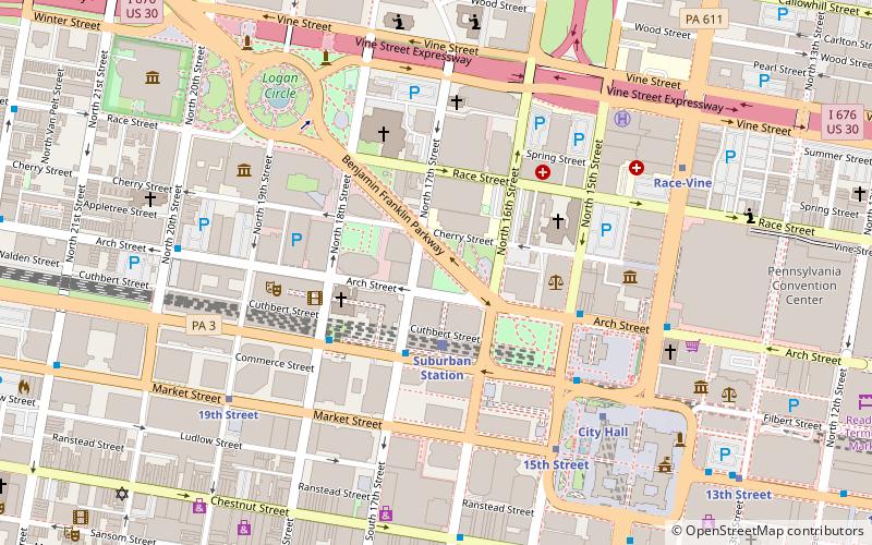
Map

Facts and practical information
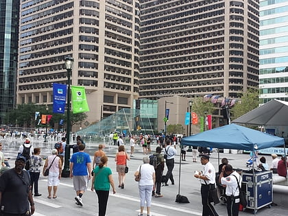
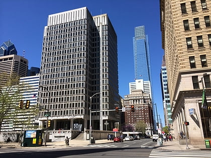
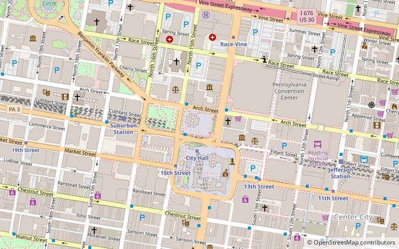
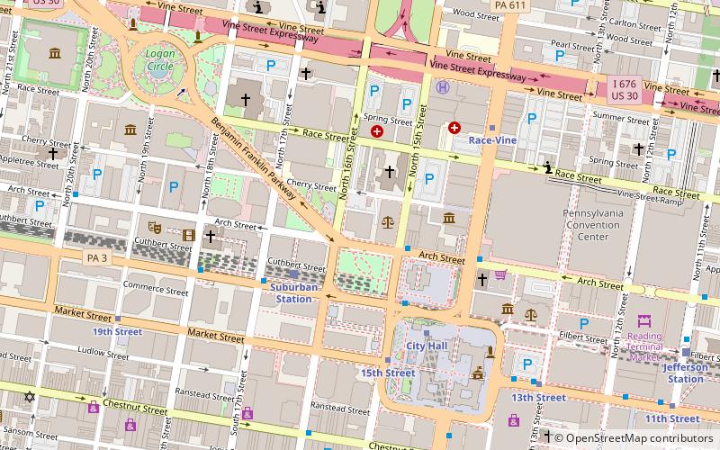
The Horwitz-Wasserman Holocaust Memorial Plaza is a Holocaust memorial park located at the intersection of the Benjamin Franklin Parkway, 16th Street and Arch Street in Philadelphia, Pennsylvania. The plaza includes the Monument to the Six Million Jewish Martyrs, which was dedicated in 1964, as well as several new elements that were added in the plaza’s significant 2018 expansion. ()
Coordinates: 39°57'19"N, 75°10'3"W
Address
Center City (Logan Square)Philadelphia
ContactAdd
Social media
Add
Day trips
Horwitz-Wasserman Holocaust Memorial Plaza – popular in the area (distance from the attraction)
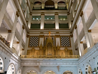
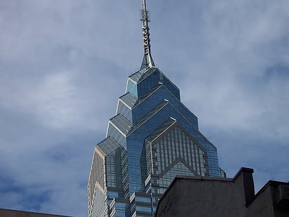
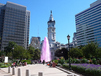
Nearby attractions include: Macy's, Liberty Place, Dilworth Park, Love Park.
Frequently Asked Questions (FAQ)
Which popular attractions are close to Horwitz-Wasserman Holocaust Memorial Plaza?
Nearby attractions include Comcast Center, Philadelphia (2 min walk), Insurance Company of North America Building, Philadelphia (2 min walk), Three Logan Square, Philadelphia (3 min walk), Wesley Building, Philadelphia (3 min walk).
How to get to Horwitz-Wasserman Holocaust Memorial Plaza by public transport?
The nearest stations to Horwitz-Wasserman Holocaust Memorial Plaza:
Train
Metro
Tram
Bus
Train
- Suburban Station (2 min walk)
- Jefferson Station (14 min walk)
Metro
- 15th Street • Lines: Mfl (6 min walk)
- City Hall • Lines: Bsl (7 min walk)
Tram
- 15th Street • Lines: 10, 11, 13, 34, 36 (6 min walk)
- 19th Street • Lines: 10, 11, 13, 34, 36 (7 min walk)
Bus
- Broad St & S Penn Sq • Lines: 27, 4 (9 min walk)
- Walnut St & 18th St • Lines: 12, 9 (10 min walk)

 SEPTA Regional Rail