Baker Street Jewish Cemeteries, Boston
Map
Facts and practical information
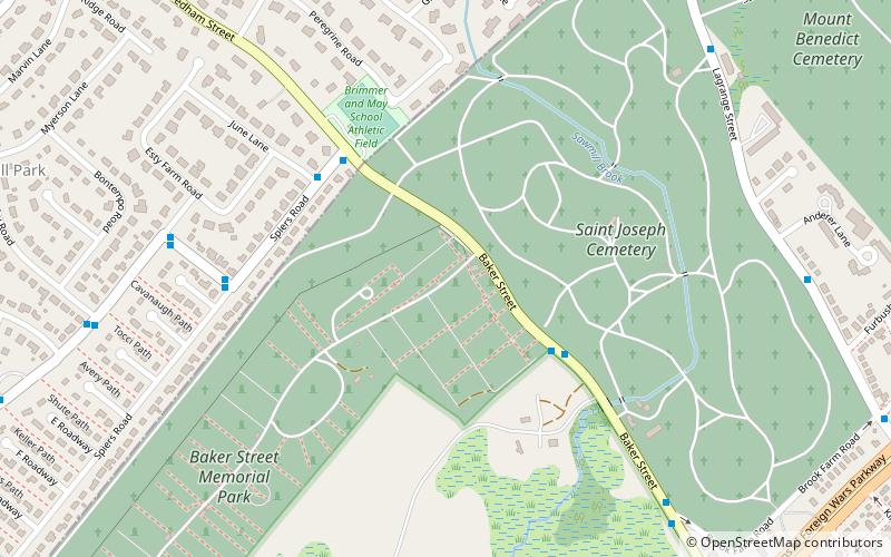
The Baker Street Jewish Cemeteries are a group of 42 Jewish cemeteries in use since the 1920s on Baker Street in the West Roxbury section of Boston. The cemeteries are located on land that once formed part of Brook Farm, a 19th-century communal-living experiment. ()
Coordinates: 42°17'35"N, 71°10'37"W
Address
West Roxbury (Brook Farm)Boston
ContactAdd
Social media
Add
Getting there by public transportation
Public transportation stops near this location
- Train
 Train
Train
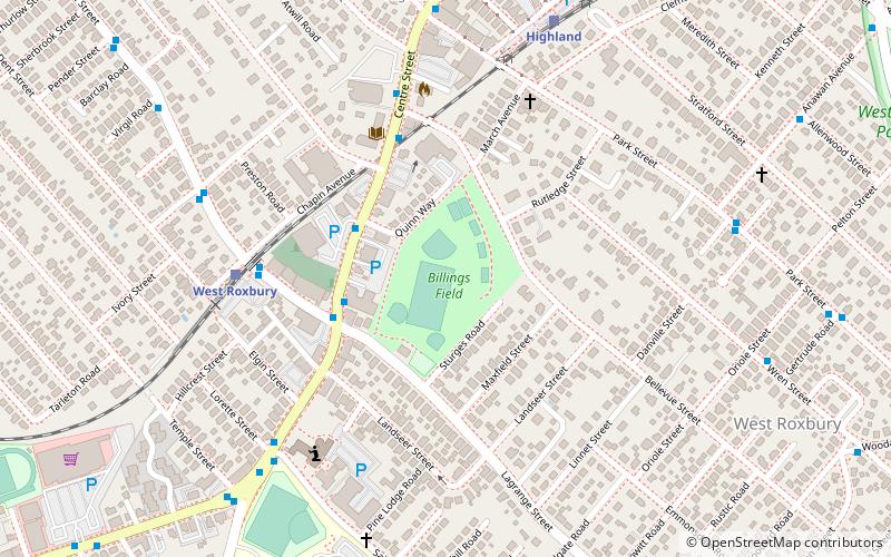
- Calculate routeWest Roxbury 31 min walk
- Calculate routeHighland 34 min walk
Maps MBTA Subway
MBTA SubwayDay trips


Frequently Asked Questions (FAQ)
Which popular attractions are close to Baker Street Jewish Cemeteries?
Nearby attractions include House at 729 Dedham Street, Newton (21 min walk), Mount Ida College, Newton (23 min walk).
How to get to Baker Street Jewish Cemeteries by public transport?
The nearest stations to Baker Street Jewish Cemeteries:
Train
Train
- West Roxbury (31 min walk)
- Highland (34 min walk)