West Roxbury Parkway, Boston

Facts and practical information
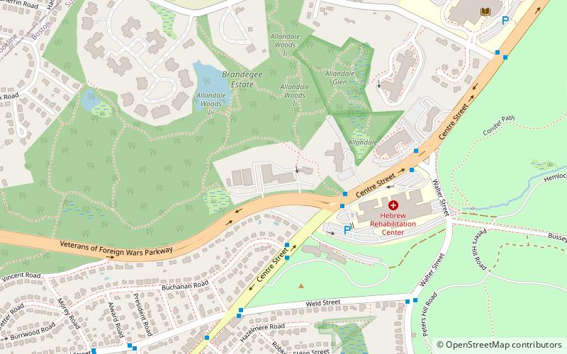
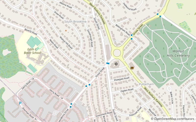
West Roxbury Parkway is a historic parkway running from Washington Street in Boston, Massachusetts, where the Enneking Parkway runs south, to Horace James Circle in Brookline, where it meets the Hammond Pond Parkway. The parkway serves as a connector between Stony Brook Reservation and Hammond Pond Reservation. West Roxbury Parkway was built between 1919 and 1929 and added to the National Register of Historic Places in 2006. The parkway is distinctive in the roadway system developed by the Metropolitan District Commission beginning around the turn of the 20th century in that it was built in collaboration with the City of Boston, and is maintained by the city. ()
Brookline (South Brookline)Boston
West Roxbury Parkway – popular in the area (distance from the attraction)
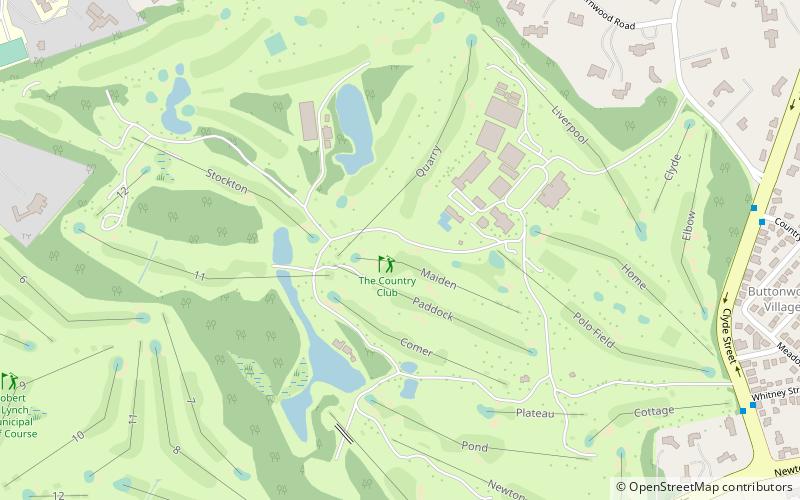
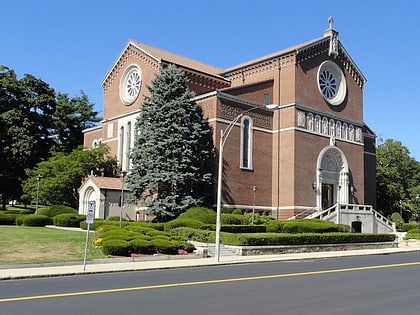
Nearby attractions include: The Country Club, Theodore Parker Unitarian Universalist Church, Holy Name Church, Robert T. Lynch Municipal Golf Course.
Frequently Asked Questions (FAQ)
Which popular attractions are close to West Roxbury Parkway?
How to get to West Roxbury Parkway by public transport?
Train
- Bellevue (31 min walk)
- Roslindale Village (40 min walk)

 MBTA Subway