Barclay Farm House, Cherry Hill
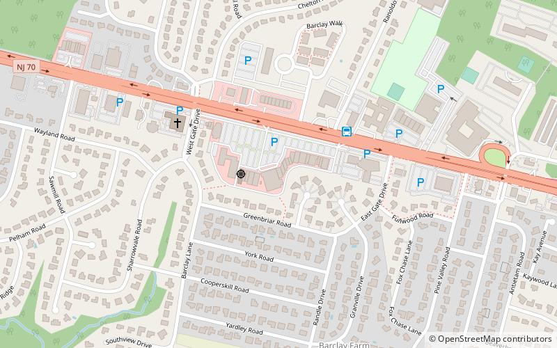
Map
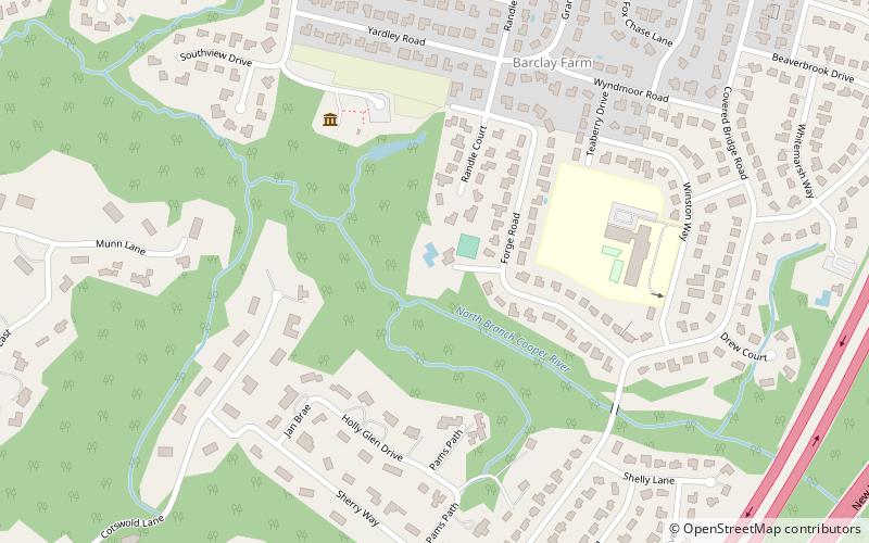
Map

Facts and practical information
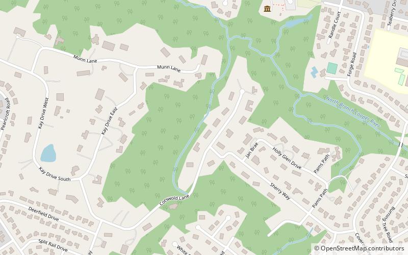
Barclay Farm House, also known as Barclay Farmstead, is located in Cherry Hill, Camden County, New Jersey, United States. The house was built in 1816 and was added to the National Register of Historic Places on January 26, 1978. ()
Coordinates: 39°54'10"N, 74°59'46"W
Day trips
Barclay Farm House – popular in the area (distance from the attraction)
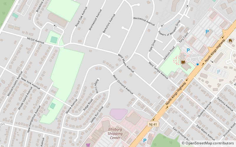
Nearby attractions include: Cherry Hill Public Library, Ellisburg, Barclay, Kingston Estates.
Frequently Asked Questions (FAQ)
Which popular attractions are close to Barclay Farm House?
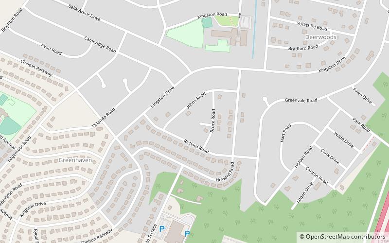
Nearby attractions include Barclay, Cherry Hill (7 min walk), Barclay-Kingston, Cherry Hill (13 min walk).
How to get to Barclay Farm House by public transport?
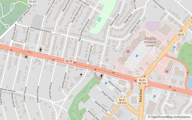
The nearest stations to Barclay Farm House:
Bus
Bus
- 66618 (15 min walk)


