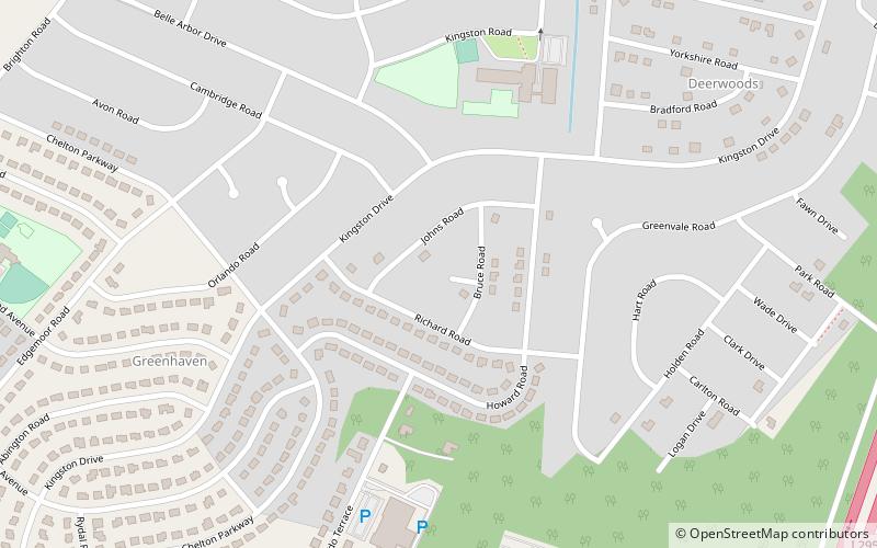
Kingston Estates, Cherry Hill
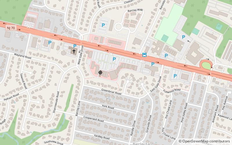
Map
Facts and practical information
Kingston Estates is an unincorporated community and census-designated place located within Cherry Hill, in Camden County, New Jersey, United States, that had been part of the Barclay-Kingston CDP until the 2000 Census, which was split to form the CDPs of Barclay and Kingston Estates as of the 2010 Census. As of the 2010 United States Census, the CDP's population was 5,685. ()
Address
Cherry Hill
ContactAdd
Social media
Add
Getting there by public transportation
Public transportation stops near this location
- Bus
 Bus
Bus
- Calculate route66618 14 min walk
Day trips


Frequently Asked Questions (FAQ)
Which popular attractions are close to Kingston Estates?
Nearby attractions include Barclay-Kingston, Cherry Hill (17 min walk), Cherry Hill Public Library, Cherry Hill (20 min walk).
How to get to Kingston Estates by public transport?
The nearest stations to Kingston Estates:
Bus
Bus
- 66618 (14 min walk)