Blue Plate Building, New Orleans
Map
Map

Facts and practical information
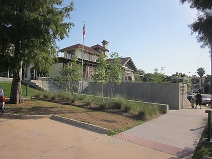
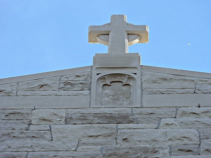
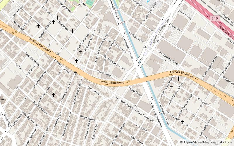
The Blue Plate Building, is a building in the Gert Town section of New Orleans, Louisiana, at 1315 S. Jefferson Davis Parkway at the corner of Earhart Boulevard. It was listed on the National Register of Historic Places on October 16, 2008. Its NRIS reference number is 08000989. ()
Coordinates: 29°57'27"N, 90°6'21"W
Address
Mid-City New Orleans (Gert Town)New Orleans
ContactAdd
Social media
Add
Day trips
Blue Plate Building – popular in the area (distance from the attraction)
Nearby attractions include: Greer Field at Turchin Stadium, Newcomb Art Museum, Carrollton Cemetery, First Presbyterian Church of New Orleans.
Frequently Asked Questions (FAQ)
Which popular attractions are close to Blue Plate Building?
Nearby attractions include Gert Town, New Orleans (5 min walk), ArtEgg Studios, New Orleans (15 min walk), Xavier University Main Building, New Orleans (15 min walk), Bohn Motor Company Automobile Dealership, New Orleans (15 min walk).
How to get to Blue Plate Building by public transport?
The nearest stations to Blue Plate Building:
Tram
Tram
- South Carrollton at South Claiborne • Lines: 12 (24 min walk)
- Canal at Jeff Davis • Lines: 47, 48 (29 min walk)

