Coastal States Building, Atlanta
Map

Map

Facts and practical information
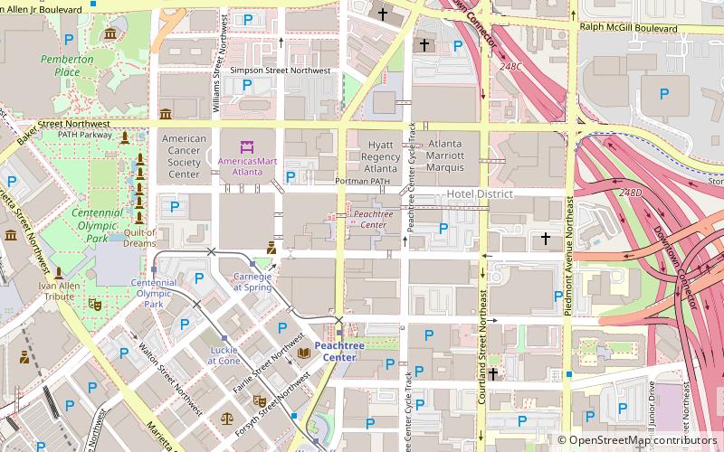
The Coastal States Building is a high-rise office building located at 260 Peachtree Street in Downtown Atlanta, Georgia. The building was completed in 1971, and designed by Sidney R. Barrett & Associates. It has 27 floors. The building underwent a $28 million renovation that was completed in 2001. It is similar in design to Regions Center in Birmingham, Alabama. ()
Coordinates: 33°45'37"N, 84°23'13"W
Address
Downtown Atlanta (Peachtree Center)Atlanta
ContactAdd
Social media
Add
Day trips
Coastal States Building – popular in the area (distance from the attraction)
Nearby attractions include: Centennial Olympic Park, Center for Civil and Human Rights, Gateway of Dreams, Tabernacle Concert Hall.
Frequently Asked Questions (FAQ)
Which popular attractions are close to Coastal States Building?
Nearby attractions include Hotel District, Atlanta (2 min walk), AmericasMart, Atlanta (2 min walk), Carnegie Education Pavilion, Atlanta (5 min walk), Hardy Ivy Park, Atlanta (5 min walk).
How to get to Coastal States Building by public transport?
The nearest stations to Coastal States Building:
Metro
Tram
Bus
Metro
- Peachtree Center • Lines: Gold, Red (3 min walk)
- Civic Center • Lines: Gold, Red (12 min walk)
Tram
- Peachtree Center • Lines: Atlanta Streetcar (4 min walk)
- Carnegie at Spring • Lines: Atlanta Streetcar (4 min walk)
Bus
- Village Smoke • Lines: Blue Route (19 min walk)
- Atlanta Greyhound Bus Station (25 min walk)


