Delancey Street, New York City
Facts and practical information
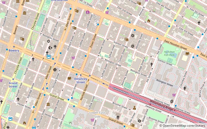
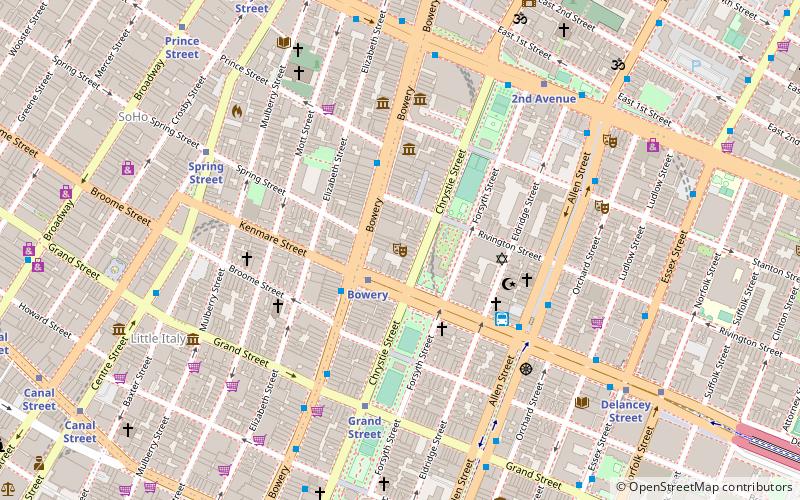
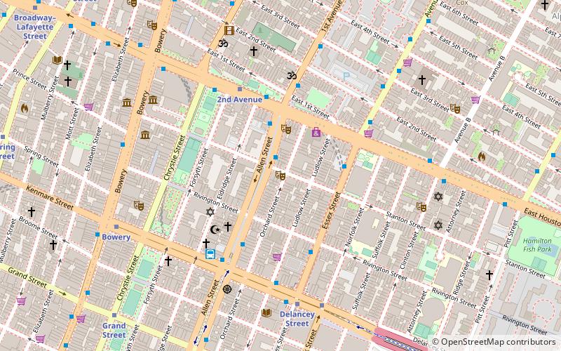
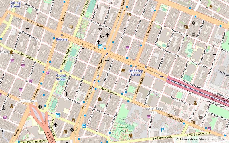
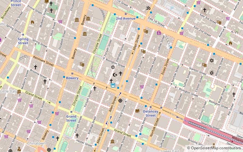
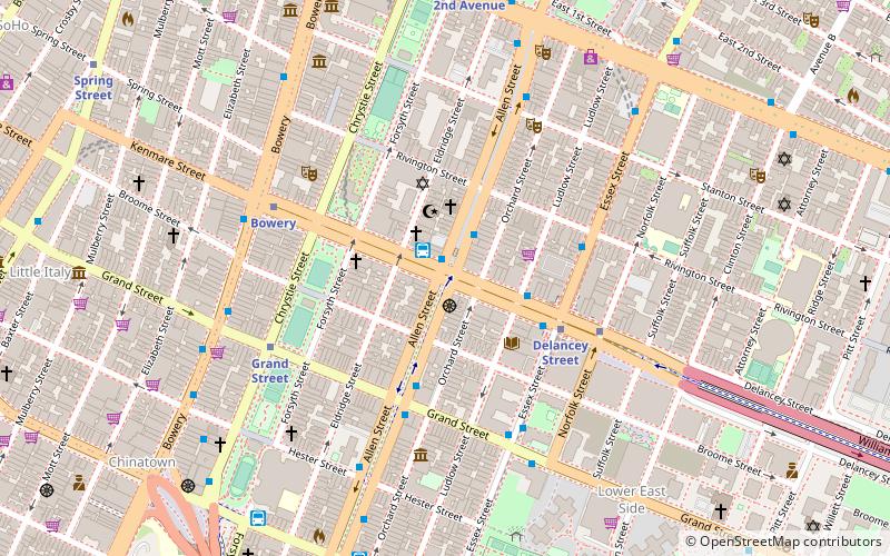
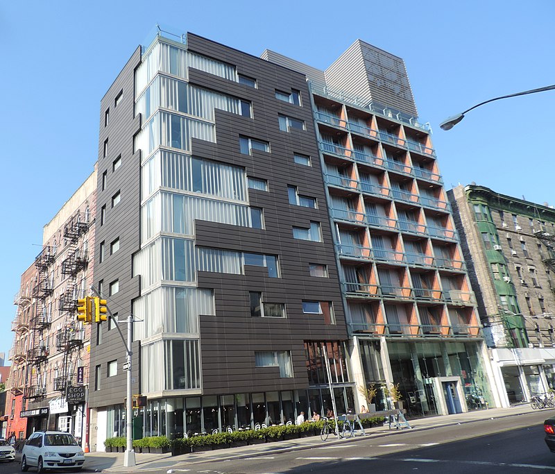
Delancey Street is one of the main thoroughfares of New York City's Lower East Side in Manhattan, running from the street's western terminus at the Bowery to its eastern end at FDR Drive, connecting to the Williamsburg Bridge and Brooklyn at Clinton Street. It is an eight-lane, median-divided street west of Clinton Street, and a service road for the Williamsburg Bridge east of Clinton Street. West of Bowery, Delancey Street becomes Kenmare Street, which continues as a four-lane, undivided street to Lafayette Street. ()
Downtown Manhattan (Lower East Side)New York City
Delancey Street – popular in the area (distance from the attraction)
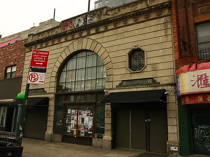
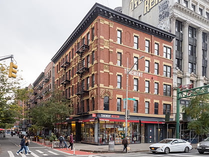
Nearby attractions include: Bowery Ballroom, Pianos, Lower East Side Tenement Museum, The Clemente.
Frequently Asked Questions (FAQ)
Which popular attractions are close to Delancey Street?
How to get to Delancey Street by public transport?
Bus
- D3 Busline (1 min walk)
- Allen Street & Grand Street • Lines: M15, M15-Sbs (4 min walk)
Metro
- Delancey Street • Lines: <F>, F (4 min walk)
- Grand Street • Lines: B, D (4 min walk)
Ferry
- Pier 11/Wall Street Terminal (36 min walk)

 Subway
 Manhattan Buses