Avenue B, New York City
Map
Gallery
Facts and practical information
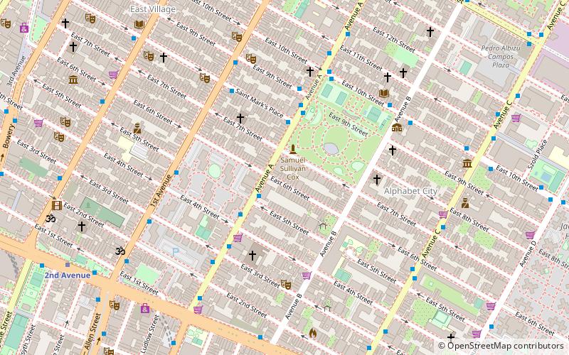
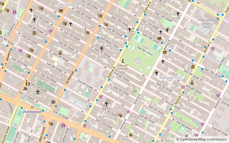
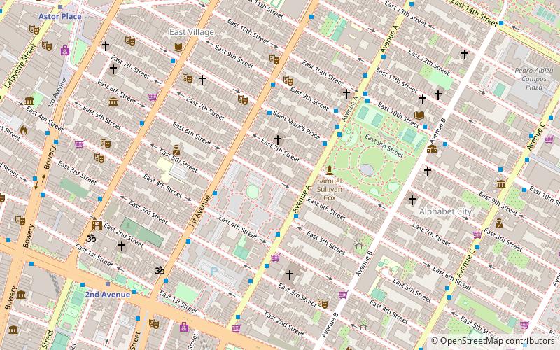
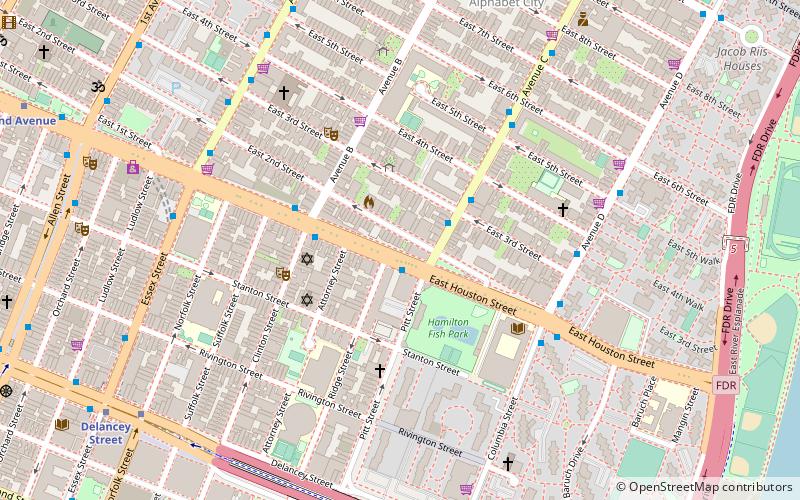
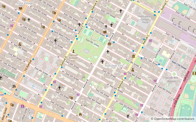
Avenue B is a north-south avenue located in the Alphabet City area of the East Village neighborhood of Manhattan, New York City, east of Avenue A and west of Avenue C. It runs from Houston Street to 14th Street, where it continues into a loop road in Stuyvesant Town, to be connected with Avenue A. Below Houston Street, Avenue B continues as Clinton Street to South Street. It is the eastern border of Tompkins Square Park. ()
Address
Downtown Manhattan (East Village)New York City
ContactAdd
Social media
Add
Day trips
Avenue B – popular in the area (distance from the attraction)
Nearby attractions include: Nuyorican Poets Cafe, Club Cumming, SideWalk Cafe, 300 Park Avenue South.
Frequently Asked Questions (FAQ)
Which popular attractions are close to Avenue B?
Nearby attractions include St. Brigid Church, New York City (1 min walk), Christodora House, New York City (2 min walk), Alphabet City, New York City (2 min walk), 300 Park Avenue South, New York City (3 min walk).
How to get to Avenue B by public transport?
The nearest stations to Avenue B:
Bus
Metro
Bus
- Avenue A & East 5th Street • Lines: M14A Sbs (5 min walk)
- Saint Marks Place & 1st Avenue • Lines: M8 (7 min walk)
Metro
- 1st Avenue • Lines: L (10 min walk)
- 2nd Avenue • Lines: <F>, F (13 min walk)

 Subway
 Manhattan Buses
