Downtown Loop, Kansas City
Map
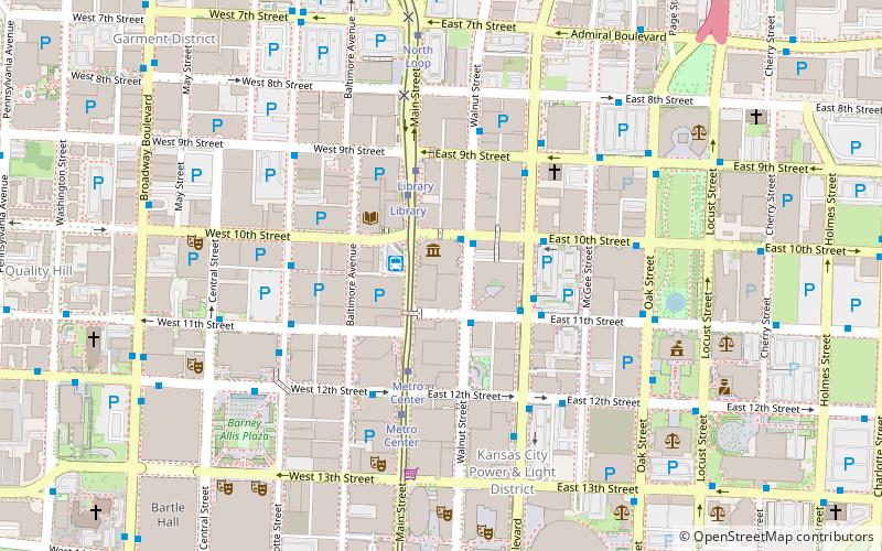
Map

Facts and practical information
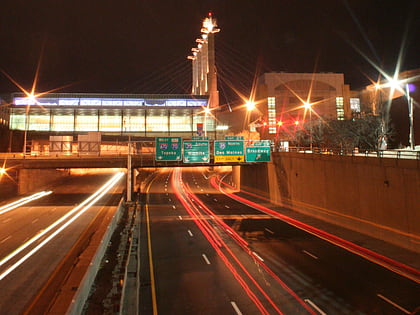
The Downtown Loop, also called the Alphabet Loop, is a complex layout of highways in downtown Kansas City, Missouri involving 23 exits, four Interstate Highways, four U.S. Highways and numerous city streets. Each exit in the highway loop is numbered 2 and suffixed with every letter of the alphabet except I, O, and Z. The entire circumference of the loop is just over 4 miles. ()
Coordinates: 39°6'6"N, 94°34'57"W
Address
Downtown Kansas City (The Downtown Loop)Kansas City
ContactAdd
Social media
Add
Day trips
Downtown Loop – popular in the area (distance from the attraction)
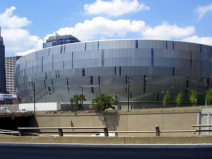
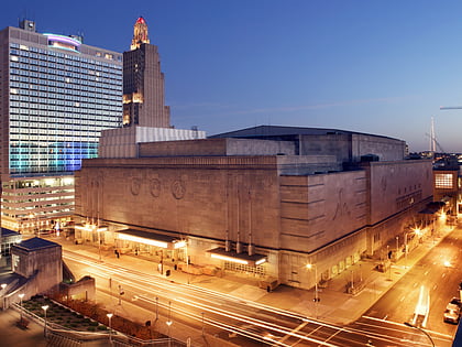
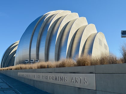
Nearby attractions include: T-Mobile Center, Mutual Musicians Foundation, Municipal Auditorium, Kauffman Center for the Performing Arts.
Frequently Asked Questions (FAQ)
Which popular attractions are close to Downtown Loop?
Nearby attractions include Commerce Trust Building, Kansas City (2 min walk), Kansas City Public Library, Kansas City (3 min walk), Library District, Kansas City (3 min walk), Oppenstein Brothers Memorial Park, Kansas City (3 min walk).
How to get to Downtown Loop by public transport?
The nearest stations to Downtown Loop:
Bus
Tram
Train
Bus
- RideKC 10th & Main Transit Plaza (2 min walk)
- Grand at 11th • Lines: 24, Mmax (3 min walk)
Tram
- Library • Lines: 601 (3 min walk)
- Metro Center • Lines: 601 (4 min walk)
Train
- Kansas City Union Station (28 min walk)
