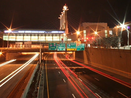
Scarritt Building and Arcade, Kansas City
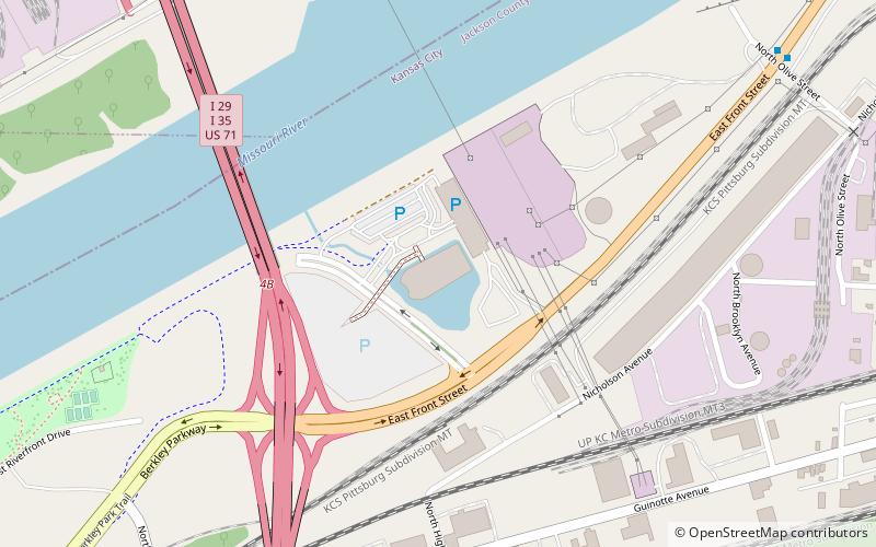
Map
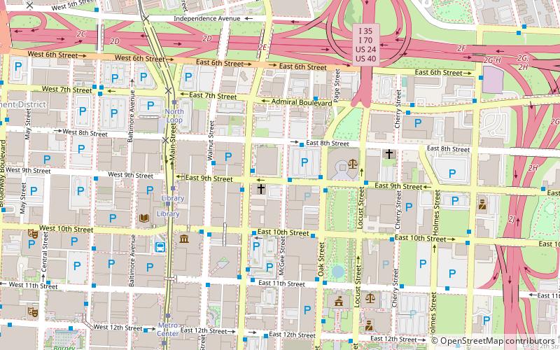
Map

Facts and practical information
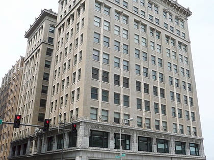
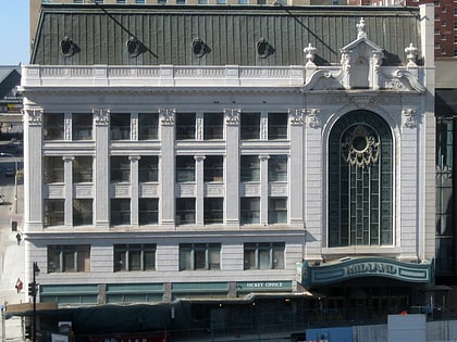
The Scarritt Building and Arcade is a historic building in Kansas City, Missouri. It was built in 1906. It was designed by Root & Siemens. It has been listed on the National Register of Historic Places since March 9, 1971. ()
Coordinates: 39°6'13"N, 94°34'47"W
Address
Downtown Kansas City (The Downtown Loop)Kansas City
ContactAdd
Social media
Add
Day trips
Scarritt Building and Arcade – popular in the area (distance from the attraction)
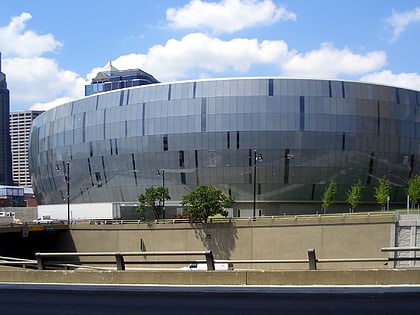
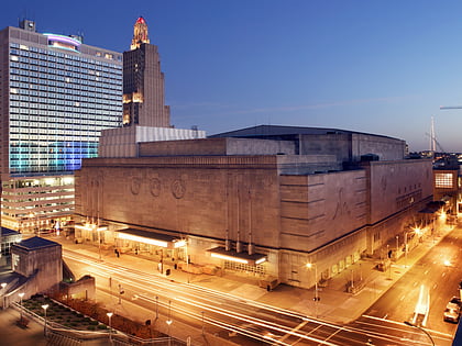
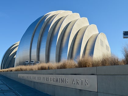
Nearby attractions include: T-Mobile Center, Mutual Musicians Foundation, Municipal Auditorium, Kauffman Center for the Performing Arts.
Frequently Asked Questions (FAQ)
Which popular attractions are close to Scarritt Building and Arcade?
Nearby attractions include Federal Reserve Bank of Kansas City, Kansas City (2 min walk), 909 Walnut, Kansas City (3 min walk), Buick Automobile Company Building, Kansas City (4 min walk), Commerce Trust Building, Kansas City (4 min walk).
How to get to Scarritt Building and Arcade by public transport?
The nearest stations to Scarritt Building and Arcade:
Bus
Tram
Bus
- Grand at 9th • Lines: 10, 24, Mmax (2 min walk)
- 8th at Grand • Lines: 24 (2 min walk)
Tram
- Library • Lines: 601 (5 min walk)
- North Loop • Lines: 601 (6 min walk)
