Filbert Street, San Francisco
Map
Gallery
Facts and practical information
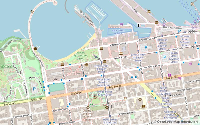
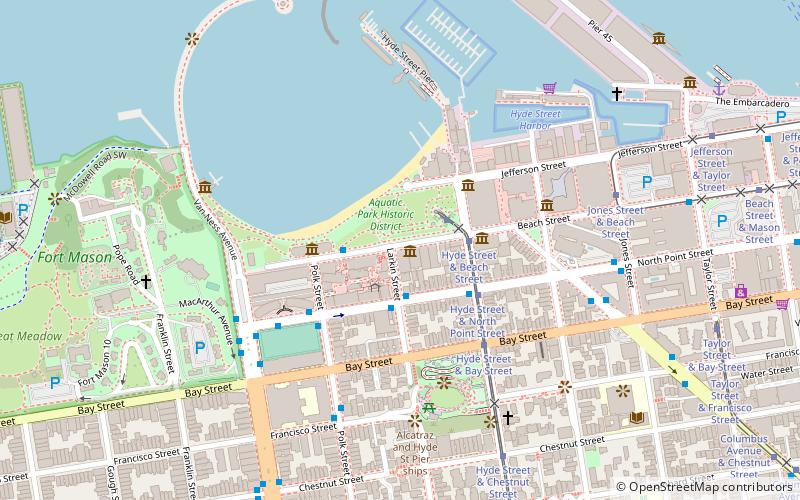
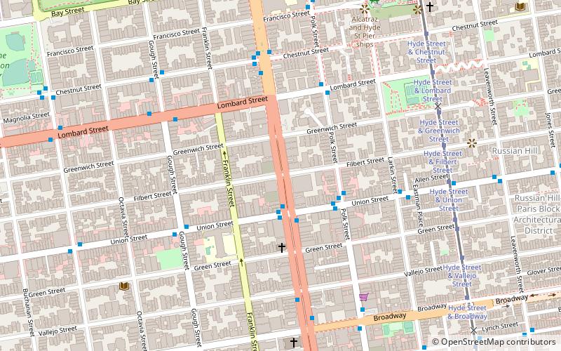
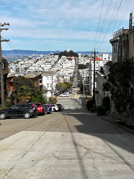
Filbert Street in San Francisco, California starts at Lyon Street on the east edge of The Presidio and runs east, crossing Van Ness Avenue and Columbus Avenue. It ends on Telegraph Hill at Kearny Street below Coit Tower and eventually resumes as a pedestrian stairway known as the Filbert Street Steps. ()
Coordinates: 37°47'58"N, 122°25'27"W
Address
Northwest San Francisco (Union Street)San Francisco
ContactAdd
Social media
Add
Day trips
Filbert Street – popular in the area (distance from the attraction)
Nearby attractions include: Bimbo's 365 Club, Aquatic Park Historic District, Lombard Street, Maritime Museum.
Frequently Asked Questions (FAQ)
Which popular attractions are close to Filbert Street?
Nearby attractions include Alhambra Theatre, San Francisco (4 min walk), McElroy Octagon House, San Francisco (5 min walk), Lombard Street, San Francisco (9 min walk), Russian Hill, San Francisco (11 min walk).
How to get to Filbert Street by public transport?
The nearest stations to Filbert Street:
Bus
Trolleybus
Tram
Ferry
Metro
Light rail
Bus
- Van Ness Avenue & Union Street • Lines: 101, 101X, 24, 24C, 24X, 27, 30, 49, 4C, 54C, 56X, 70, 72X, 90, Dt (2 min walk)
- Polk Street & Union Street • Lines: 19 (3 min walk)
Trolleybus
- Union Street & Van Ness Avenue • Lines: 45 (2 min walk)
- Chestnut Street & Van Ness Avenue • Lines: 30 (5 min walk)
Tram
- Hyde Street & Filbert Street (8 min walk)
- Hyde Street & Union Street (8 min walk)
Ferry
- Pier 41 Gate 1 • Lines: Blue & Gold Fleet (24 min walk)
- Pier 41 Gate 2 • Lines: Blue & Gold Fleet, San Francisco Bay Ferry (25 min walk)
Metro
- Powell Street • Lines: Blue, Green, Red, Yellow (36 min walk)
Light rail
- Powell Street • Lines: K, N, S, T (36 min walk)

 Muni Metro