Lafayette Park, San Francisco

Gallery (1)
Map
Map
Facts and practical information
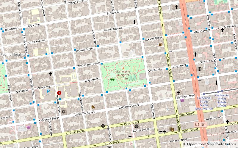
Lafayette Park is an 11.49 acres park in San Francisco, California, United States. Originally created in 1936, it is located in the neighborhood of Pacific Heights between the streets of Washington, Sacramento, Gough, and Laguna. Located on a hill, the park offers views of many areas, including the city's Marina district, Alcatraz Island and the San Francisco Bay, Buena Vista Park, and Twin Peaks. In addition to both open and treed green spaces, the park includes two tennis courts, a children's playground, an off-leash dog area, restroom facilities, and a picnic area. ()
Created: 1936Elevation: 358 ft a.s.l.Coordinates: 37°47'30"N, 122°25'41"W
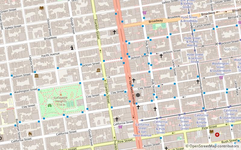
Getting there by public transportation
Public transportation stops near this location
- Metro
- Bus
- Trolleybus
- Tram
- Light rail
 Metro
Metro
- Calculate routeSacramento Street & Octavia Street 2 min walk
- Calculate routeGough Street & Sacramento Street 4 min walk
- Calculate routeVan Ness Avenue & Sacramento Street 8 min walk
- Calculate routeJackson Street & Van Ness Avenue 9 min walk
- Calculate routeCalifornia Street & Van Ness Avenue 9 min walk
- Calculate routeCalifornia Street & Polk Street 11 min walk
- Calculate routeCalifornia Street & Larkin Street 13 min walk
- Calculate routeCalifornia Street & Hyde Street 15 min walk
- Calculate routeCivic Center 30 min walk
- Calculate routePowell Street 32 min walk
- Calculate routeCivic Center 30 min walk
- Calculate routePowell Street 32 min walk
- Calculate routeVan Ness 32 min walk
Maps Muni Metro
Muni MetroDay trips


Frequently Asked Questions (FAQ)
Which popular attractions are close to Lafayette Park?
Nearby attractions include Whittier Mansion, San Francisco (4 min walk), C. A. Belden House, San Francisco (5 min walk), Haas-Lilienthal House, San Francisco (6 min walk), Second Church of Christ, San Francisco (6 min walk).
How to get to Lafayette Park by public transport?
The nearest stations to Lafayette Park:
Trolleybus
Bus
Tram
Metro
Light rail
Trolleybus
- Sacramento Street & Octavia Street • Lines: 1 (2 min walk)
- Gough Street & Sacramento Street • Lines: 1 (4 min walk)
Bus
- Van Ness Avenue & Sacramento Street • Lines: 101, 101X, 24C, 30, 49, 4C, 54C, 70, 90 (8 min walk)
- Jackson Street & Van Ness Avenue • Lines: 12, 27 (9 min walk)
Tram
- California Street & Van Ness Avenue (9 min walk)
- California Street & Polk Street (11 min walk)
Metro
- Civic Center • Lines: Blue, Green, Red, Yellow (30 min walk)
- Powell Street • Lines: Blue, Green, Red, Yellow (32 min walk)
Light rail
- Civic Center • Lines: K, N, S, T (30 min walk)
- Powell Street • Lines: K, N, S, T (32 min walk)