Houston Street, New York City
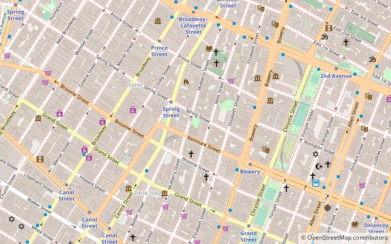
Map
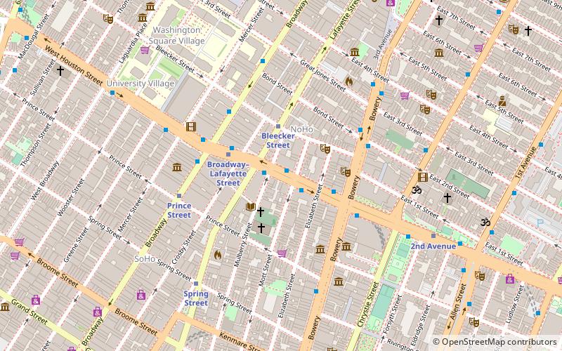
Map

Facts and practical information
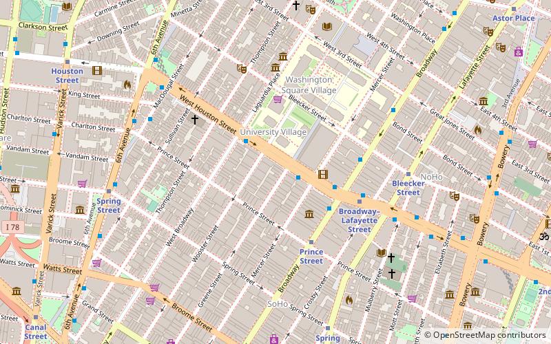
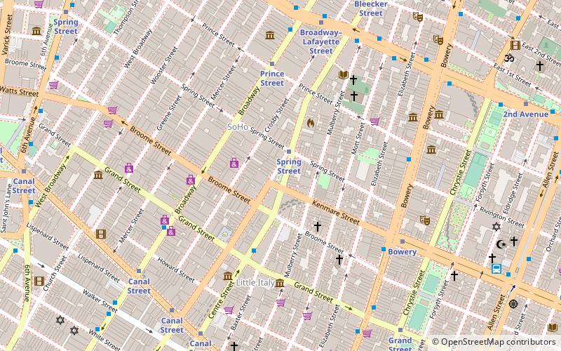
Houston Street is a major east–west thoroughfare in Lower Manhattan in New York City. It runs the full width of the island of Manhattan, from FDR Drive along the East River in the east to the West Side Highway along the Hudson River in the west. The street is divided into west and east sections by Broadway. ()
Address
Downtown Manhattan (NoHo)New York City
ContactAdd
Social media
Add
Day trips
Houston Street – popular in the area (distance from the attraction)
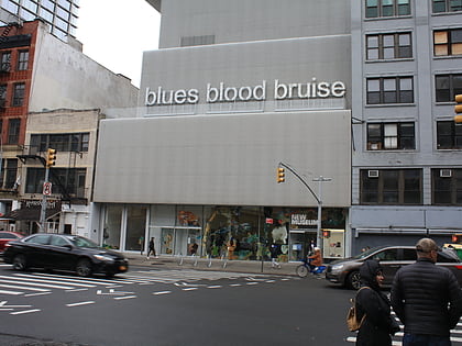
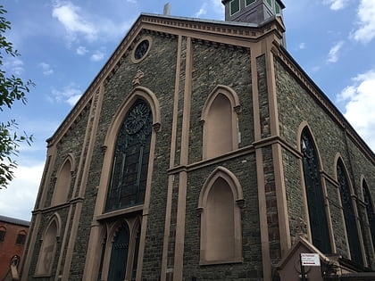
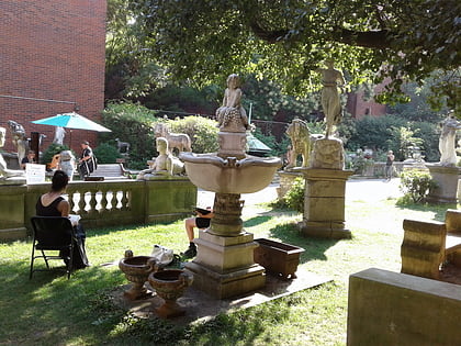
Nearby attractions include: New Museum, St. Patrick's Old Cathedral, Merchant's House Museum, Terrain Gallery.
Frequently Asked Questions (FAQ)
Which popular attractions are close to Houston Street?
Nearby attractions include Puck Building, New York City (2 min walk), NoHo, New York City (3 min walk), St. Patrick's Old Cathedral, New York City (3 min walk), Bayard–Condict Building, New York City (3 min walk).
How to get to Houston Street by public transport?
The nearest stations to Houston Street:
Metro
Bus
Metro
- Bleecker Street • Lines: <6>, 4, 6 (2 min walk)
- Broadway–Lafayette Street • Lines: <F>, B, D, F, M (3 min walk)
Bus
- East Houston Street & Crosby Street • Lines: M21 (3 min walk)
- Broadway & Bleecker Street • Lines: M55 (4 min walk)

 Subway
 Manhattan Buses