DeSalvio Playground, New York City
Map
Facts and practical information
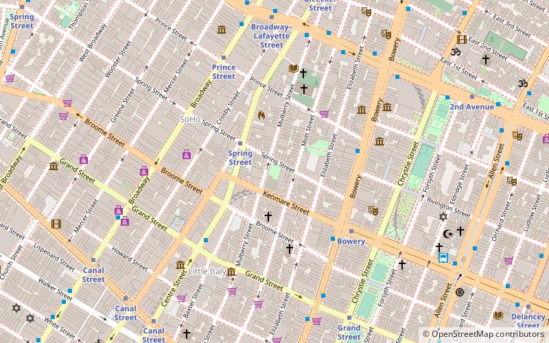
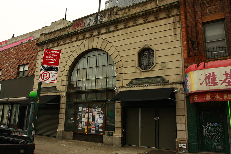
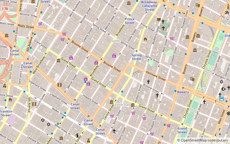
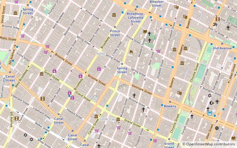
DeSalvio Playground is a neighborhood park located on the corner of Spring Street and Mulberry Street in NoLita, in Manhattan, New York City. ()
Elevation: 36 ft a.s.l.Coordinates: 40°43'18"N, 73°59'46"W
Address
Downtown Manhattan (NoLita)New York City
ContactAdd
Social media
Add
Getting there by public transportation
Public transportation stops near this location
- Metro
- Bus
- Ferry
 Metro
Metro
- Calculate routeSpring Street 4 min walk
- Calculate routeBowery 4 min walk
- Calculate routeBroadway & Spring Street 5 min walk
- Calculate routeEast Houston Street & Broadway 7 min walk
- Calculate routeBrookfield Place / Battery Park City Ferry Terminal 32 min walk
Maps SubwayMaps
 Manhattan Buses
SubwayMapsManhattan BusesDay trips


Frequently Asked Questions (FAQ)
Which popular attractions are close to DeSalvio Playground?
Nearby attractions include Petrosino Square, New York City (2 min walk), San Lorenzo Ruiz Chapel, New York City (2 min walk), Nolita, New York City (3 min walk), Elizabeth Street Garden, New York City (3 min walk).
How to get to DeSalvio Playground by public transport?
The nearest stations to DeSalvio Playground:
Metro
Bus
Ferry
Metro
- Spring Street • Lines: <6>, 4, 6 (4 min walk)
- Bowery • Lines: J, Z (4 min walk)
Bus
- Broadway & Spring Street • Lines: M55 (5 min walk)
- East Houston Street & Broadway • Lines: M21 (7 min walk)
Ferry
- Brookfield Place / Battery Park City Ferry Terminal (32 min walk)