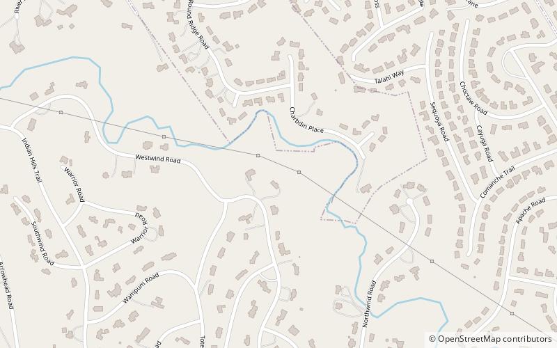
Indian Hills, Louisville
Map
Facts and practical information
Indian Hills is a home rule-class city along the Ohio River in Jefferson County, Kentucky, United States. The population was 2,868 as of the 2010 census. Indian Hills and the nearby cities of Mockingbird Valley, Glenview, and Anchorage have been cited as the most prosperous suburbs of Louisville since the mid-20th century. It was among the highest-income places in the United States as of the 2000 U.S. census. ()
Address
East Louisville (Indian Hills)Louisville
ContactAdd
Social media
Add
Getting there by public transportation
Public transportation stops near this location
- Bus
 Bus
Bus
- Calculate routeBrownsboro / N Hubbards 17 min walk
Day trips


Frequently Asked Questions (FAQ)
Which popular attractions are close to Indian Hills?
Nearby attractions include Locust Grove, Louisville (17 min walk), Zachary Taylor National Cemetery, Louisville (23 min walk).
How to get to Indian Hills by public transport?
The nearest stations to Indian Hills:
Bus
Bus
- Brownsboro / N Hubbards • Lines: 15East LaGrange, 15East LimeKiln, 15East LimeKiln&VA, 15West LaGrange, 15West LimeKiln, 15West LimeKiln&VA (17 min walk)