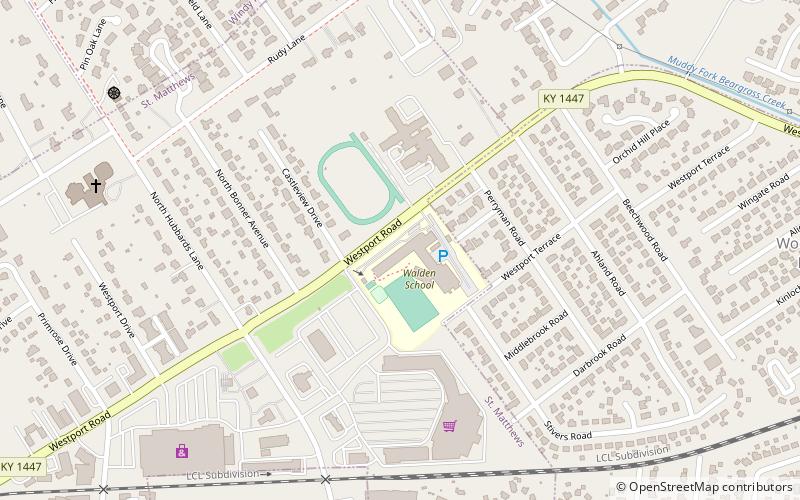
Walden School, Louisville
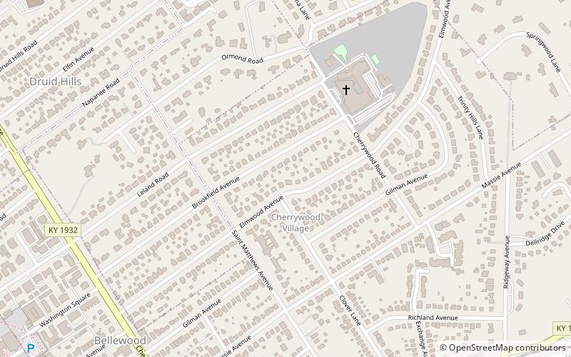
Map
Facts and practical information
Walden School is a nonprofit private school in Louisville, Kentucky. Walden School offers Kindergarten through twelfth grade education. It is the 11th largest K-8 private school in Louisville. ()
Coordinates: 38°15'41"N, 85°38'17"W
Getting there by public transportation
Public transportation stops near this location
- Bus
 Bus
Bus
- Calculate routeShelbyville / Bonner 18 min walk
Day trips


Frequently Asked Questions (FAQ)
Which popular attractions are close to Walden School?
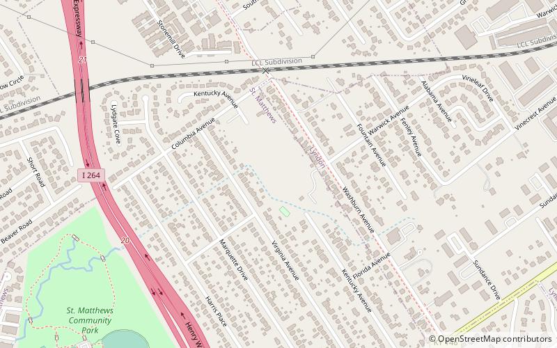
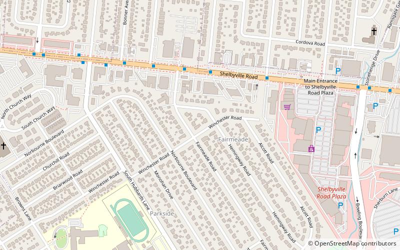
Nearby attractions include Saint Matthews, Louisville (21 min walk), Fairmeade, Louisville (22 min walk), Cherrywood Village, Louisville (24 min walk).
How to get to Walden School by public transport?
The nearest stations to Walden School:
Bus
Bus
- Shelbyville / Bonner • Lines: 29East Oxmoor, 29West Oxmoor (18 min walk)