John Hancock Building, Boston
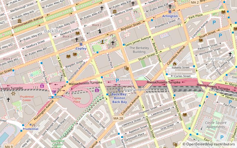
Map
Facts and practical information
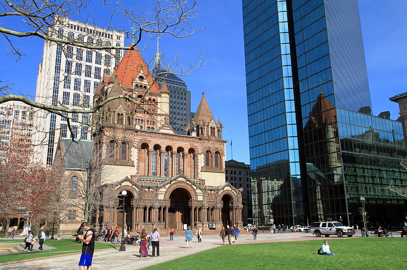
Four buildings in Boston, Massachusetts, have been known as the "John Hancock Building". All were built by the John Hancock Insurance companies. References to the John Hancock building usually refer to the 60-story, sleek glass building on Clarendon Street also known as the John Hancock Tower or Hancock Place. ()
Coordinates: 42°20'54"N, 71°4'30"W
Address
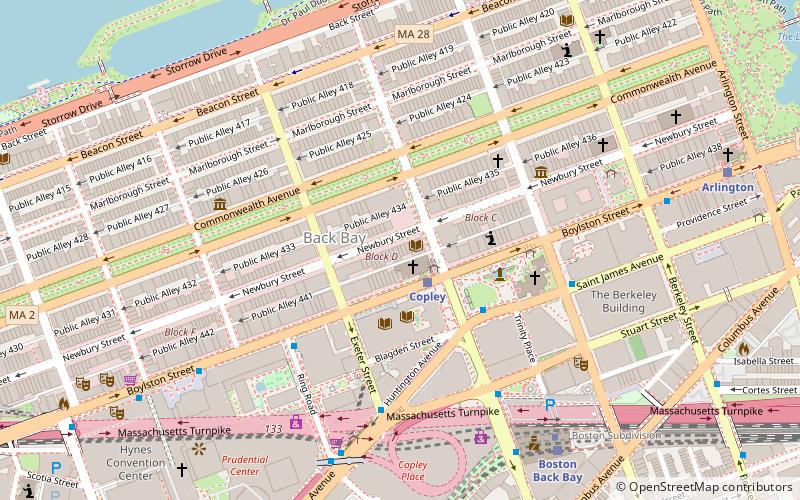
Back BayBoston
ContactAdd
Social media
Add
Getting there by public transportation
Public transportation stops near this location
- Metro
- Bus
- Light rail
- Train
 Metro
Metro
- Calculate routeBack Bay 2 min walk
- Calculate routeTufts Medical Center 15 min walk
- Calculate routeChinatown 18 min walk
- Calculate routeMassachusetts Avenue 18 min walk
- Calculate routeStuart St @ Dartmouth St 2 min walk
- Calculate routeSaint James Ave @ Clarendon St 3 min walk
- Calculate routeSaint James Ave @ Dartmouth St 3 min walk
- Calculate routeBerkeley St @ Columbus Ave 5 min walk
- Calculate routeBoston Back Bay 2 min walk
- Calculate routeBoston South Station 27 min walk
- Calculate routeRuggles 28 min walk
- Calculate routeCopley 5 min walk
- Calculate routeArlington 8 min walk
- Calculate routePrudential 10 min walk
- Calculate routeBoylston 17 min walk
Maps MBTA Subway
MBTA SubwayDay trips
John Hancock Building – popular in the area (distance from the attraction)
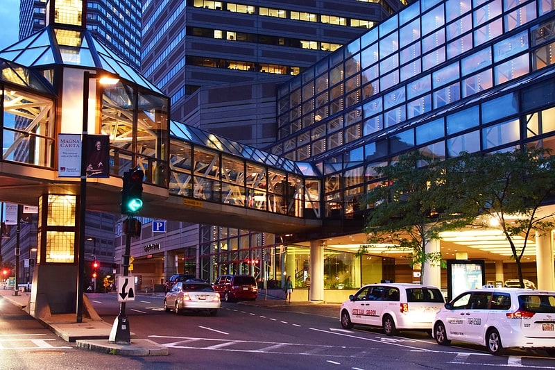
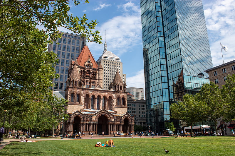
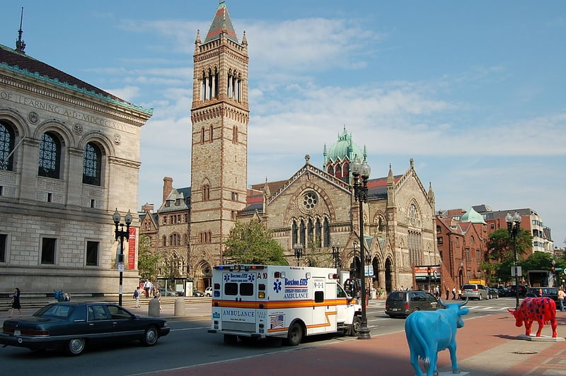
Nearby attractions include: Copley Place, Club Café, Trinity Church, Copley Square.


Frequently Asked Questions (FAQ)
Which popular attractions are close to John Hancock Building?
Nearby attractions include YWCA Boston building, Boston (1 min walk), 101 Clarendon Street, Boston (2 min walk), Trinity Church, Boston (3 min walk), Copley Square, Boston (4 min walk).
How to get to John Hancock Building by public transport?
The nearest stations to John Hancock Building:
Metro
Bus
Train
Light rail
Metro
- Back Bay • Lines: Orange (2 min walk)
- Tufts Medical Center • Lines: Orange (15 min walk)
Bus
- Stuart St @ Dartmouth St • Lines: 502, 504 (2 min walk)
- Saint James Ave @ Clarendon St • Lines: 504, 55, 9 (3 min walk)
Train
- Boston Back Bay (2 min walk)
- Boston South Station (27 min walk)
Light rail
- Copley • Lines: B, C, D, E (5 min walk)
- Arlington • Lines: B, C, D, E (8 min walk)