Lombard Street Bridge, Baltimore
Facts and practical information
Lombard Street Bridge is a historic truss bridge located at Baltimore, Maryland, United States. It is an 88-foot cast iron span consisting of three lines of trusses—two outer trusses of composite cast and wrought iron in a diagonal Pratt design and a center composite bowstring truss of Pratt-system web. It was designed in 1877 by engineer Wendel Bollman. The center bowstring is actually a bifurcated cast iron water main. This design for a bridge carrying a water line as a component of the truss bridge support itself is a unique design element of this bridge. ()
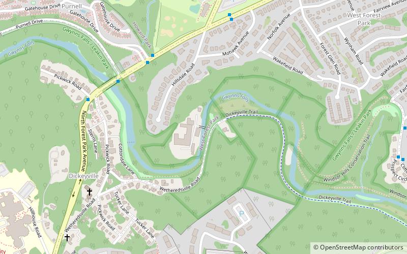
Northwestern Baltimore (West Forest Park)Baltimore
Lombard Street Bridge – popular in the area (distance from the attraction)
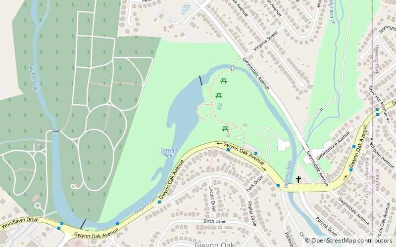
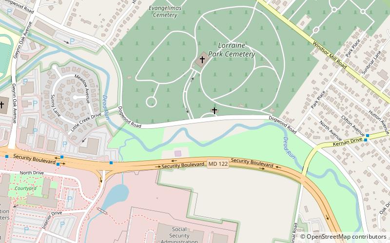
Nearby attractions include: Gwynns Falls Leakin Park, Gwynn Oak Park, Franklintown Historic District, Lorraine Park Cemetery Gate Lodge.

